Motumauri Island Area, Motumauri Island Postcode(3074) & Map in Motumauri Island
Motumauri Island Area, Motumauri Island Postcode(3074) & Map in Motumauri Island, Rotorua District, New Zealand
Motumauri Island, Rotorua District, New Zealand
Motumauri Island Postcodes
0Motumauri Island Population (estimated)
0 people live in Motumauri Island, Bay of Plenty, NZ0Motumauri Island Introduction
Motumauri Island is a small, uninhabited island in the Bay of Plenty, New Zealand. It is known for its stunning natural beauty, including rugged cliffs, pristine beaches, and diverse marine life. The island is a popular destination for outdoor enthusiasts, including hikers, kayakers, and birdwatchers. It is also home to a small research station operated by the New Zealand Department of Conservation.Region
Suburb Name
Motumauri IslandOther Name(s)
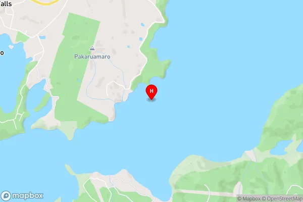
Lake RotoitiMotumauri Island Area Map (Street)
Local Authority
Rotorua DistrictFull Address
Motumauri Island, Rotorua District, New ZealandAddress Type
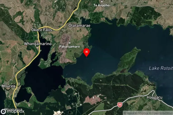
IslandMotumauri Island Suburb Map (Satellite)
Country
Main Region in AU
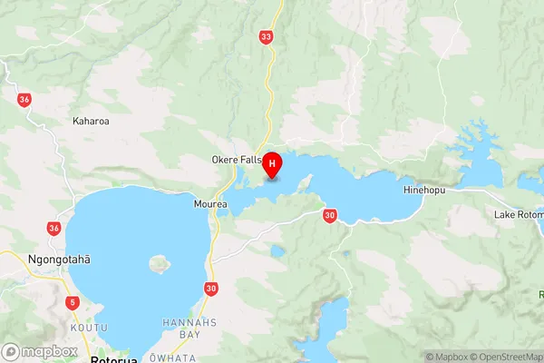
Bay of PlentyMotumauri Island Region Map
Coordinates
-38.0307995,176.3727475 (latitude/longitude)Distances
The distance from Motumauri Island, , Rotorua District to NZ Top 10 Cities