Motumaire Island Area, Motumaire Island Postcode & Map in Motumaire Island
Motumaire Island Area, Motumaire Island Postcode & Map in Motumaire Island, Far North District, New Zealand
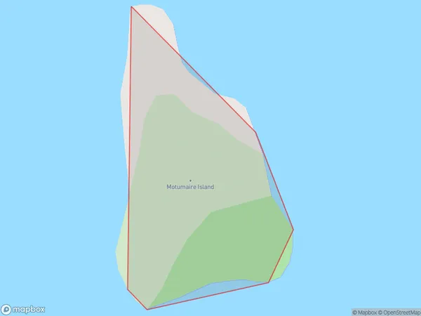
Motumaire Island, Far North District, New Zealand
Motumaire Island Area (estimated)
0.0 square kilometersMotumaire Island Population (estimated)
0 people live in Motumaire Island, Bay of Islands-Whangaroa Community, NZMotumaire Island Suburb Area Map (Polygon)
Motumaire Island Introduction
Motumaire Island is a small island in the Bay of Islands, Northland, New Zealand. It is known for its beautiful beaches, crystal-clear waters, and rich cultural heritage. The island is home to the Motuarohia Marae, a significant Maori meeting place. It is also a popular destination for snorkeling, kayaking, and fishing. Motumaire Island is accessible by ferry from Paihia or Russell.Region
Major City
Suburb Name
Motumaire IslandOther Name(s)
Bay Of IslandsMotumaire Island Area Map (Street)

Local Authority
Far North DistrictFull Address
Motumaire Island, Far North District, New ZealandAddress Type
IslandMotumaire Island Suburb Map (Satellite)

Country
Main Region in AU
NorthlandMotumaire Island Region Map

Coordinates
-35.27519685,174.094348518712 (latitude/longitude)Distances
The distance from Motumaire Island, , Far North District to NZ Top 10 Cities