Motumahanga Island Area, Motumahanga Island Postcode & Map in Motumahanga Island
Motumahanga Island Area, Motumahanga Island Postcode & Map in Motumahanga Island, Area outside Territorial Authority, New Zealand
Motumahanga Island, Area outside Territorial Authority, New Zealand
Motumahanga Island Area (estimated)
0.0 square kilometersMotumahanga Island Population (estimated)
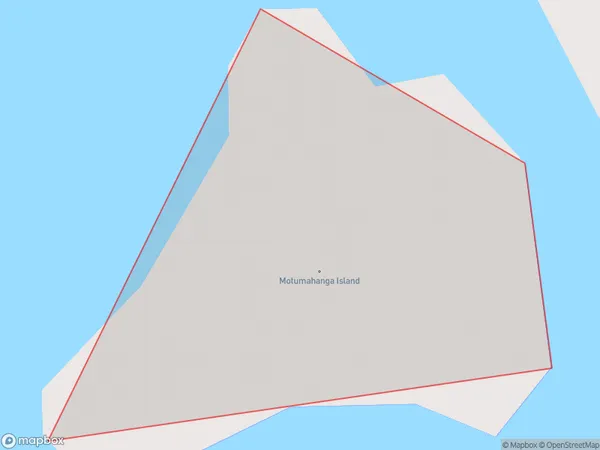
0 people live in Motumahanga Island, Northland, NZMotumahanga Island Suburb Area Map (Polygon)
Motumahanga Island Introduction
Motumahanga Island is a small, uninhabited island in the Bay of Islands, Northland, New Zealand. It is known for its stunning natural beauty, including rugged cliffs, pristine beaches, and diverse marine life. The island is a popular destination for hiking, camping, and snorkeling, and is part of the Motumahanga Marine Reserve, which is a protected area covering over 100 square kilometers of ocean and coastline.Region
Suburb Name
Motumahanga IslandOther Name(s)
Cavalli IslandsMotumahanga Island Area Map (Street)

Local Authority
Area outside Territorial AuthorityFull Address
Motumahanga Island, Area outside Territorial Authority, New ZealandAddress Type
IslandMotumahanga Island Suburb Map (Satellite)

Country
Main Region in AU
NorthlandMotumahanga Island Region Map

Coordinates
-34.99816495,173.931701842655 (latitude/longitude)Distances
The distance from Motumahanga Island, , Area outside Territorial Authority to NZ Top 10 Cities