Motukumara Rock Area, Motukumara Rock Postcode & Map in Motukumara Rock
Motukumara Rock Area, Motukumara Rock Postcode & Map in Motukumara Rock, Area outside Territorial Authority, New Zealand
Motukumara Rock, Area outside Territorial Authority, New Zealand
Motukumara Rock Area (estimated)
0.0 square kilometersMotukumara Rock Population (estimated)
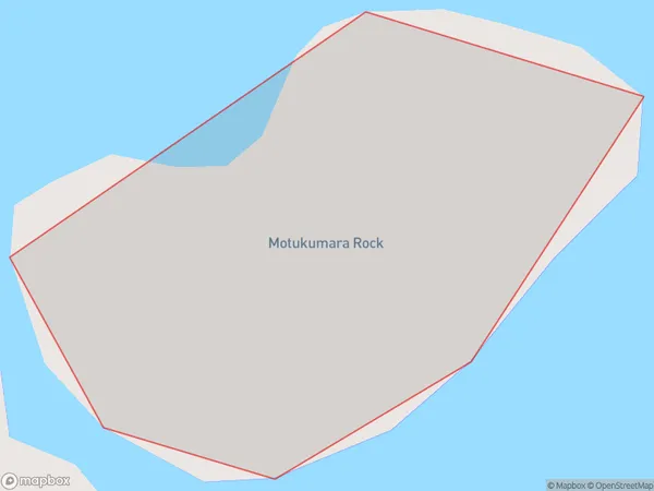
0 people live in Motukumara Rock, Northland, NZMotukumara Rock Suburb Area Map (Polygon)
Motukumara Rock Introduction
Motukumara Rock is a volcanic cone located in Northland, New Zealand. It is the most northerly active volcano in New Zealand and one of the most active in the Pacific Rim. The cone is about 1,200 years old and has a height of 260 meters. Motukumara Rock is a popular tourist destination and is known for its stunning coastal views and rich cultural heritage.Region
Suburb Name
Motukumara RockMotukumara Rock Area Map (Street)

Local Authority
Area outside Territorial AuthorityFull Address
Motukumara Rock, Area outside Territorial Authority, New ZealandAddress Type
IslandMotukumara Rock Suburb Map (Satellite)

Country
Main Region in AU
NorthlandMotukumara Rock Region Map

Coordinates
-35.23602395,174.314091126913 (latitude/longitude)Distances
The distance from Motukumara Rock, , Area outside Territorial Authority to NZ Top 10 Cities