Motukowhai Island Area, Motukowhai Island Postcode & Map in Motukowhai Island
Motukowhai Island Area, Motukowhai Island Postcode & Map in Motukowhai Island, Whangarei District, New Zealand
Motukowhai Island, Whangarei District, New Zealand
Motukowhai Island Area (estimated)
0.0 square kilometersMotukowhai Island Population (estimated)
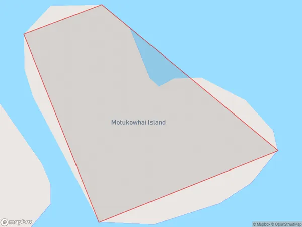
0 people live in Motukowhai Island, Northland, NZMotukowhai Island Suburb Area Map (Polygon)
Motukowhai Island Introduction
Motukowhai Island is located off the coast of Northland, New Zealand. It is known for its stunning natural beauty, including crystal-clear waters, rugged cliffs, and lush forests. The island is a popular destination for hiking, camping, and wildlife viewing, with a variety of species of birds and marine life. It is also home to the Motukowhai Cave, a sacred site for the local Maori people.Region
Suburb Name
Motukowhai IslandMotukowhai Island Area Map (Street)

Local Authority
Whangarei DistrictFull Address
Motukowhai Island, Whangarei District, New ZealandAddress Type
IslandMotukowhai Island Suburb Map (Satellite)

Country
Main Region in AU
NorthlandMotukowhai Island Region Map

Coordinates
-35.32366675,174.343819847308 (latitude/longitude)Distances
The distance from Motukowhai Island, , Whangarei District to NZ Top 10 Cities