Motukotare Island Area, Motukotare Island Postcode & Map in Motukotare Island
Motukotare Island Area, Motukotare Island Postcode & Map in Motukotare Island, Area outside Territorial Authority, New Zealand
Motukotare Island, Area outside Territorial Authority, New Zealand
Motukotare Island Area (estimated)
0.0 square kilometersMotukotare Island Population (estimated)
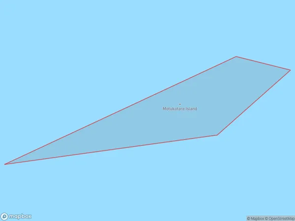
0 people live in Motukotare Island, Bay of Plenty, NZMotukotare Island Suburb Area Map (Polygon)
Motukotare Island Introduction
Motukotare Island is located in the Bay of Plenty, New Zealand. It is a small, uninhabited island with a rich history and cultural significance to the local Māori people. The island is known for its stunning natural beauty, including rugged cliffs, pristine beaches, and diverse wildlife. It is a popular destination for outdoor activities such as hiking, kayaking, and birdwatching. Motukotare Island also has historical sites, including a former pa site and a stone fortification built by early Māori settlers.Region
Suburb Name
Motukotare IslandOther Name(s)
Bay Of PlentyMotukotare Island Area Map (Street)

Local Authority
Area outside Territorial AuthorityFull Address
Motukotare Island, Area outside Territorial Authority, New ZealandAddress Type
IslandMotukotare Island Suburb Map (Satellite)

Country
Main Region in AU
Bay of PlentyMotukotare Island Region Map

Coordinates
-37.6834255,177.723577796901 (latitude/longitude)Distances
The distance from Motukotare Island, , Area outside Territorial Authority to NZ Top 10 Cities