Motukorure Island / Centre Island Area, Motukorure Island / Centre Island Postcode & Map in Motukorure Island / Centre Island
Motukorure Island / Centre Island Area, Motukorure Island / Centre Island Postcode & Map in Motukorure Island / Centre Island, Area outside Territorial Authority,
Motukorure Island / Centre Island, Area outside Territorial Authority,
Motukorure Island / Centre Island Area (estimated)
0.0 square kilometersMotukorure Island / Centre Island Population (estimated)
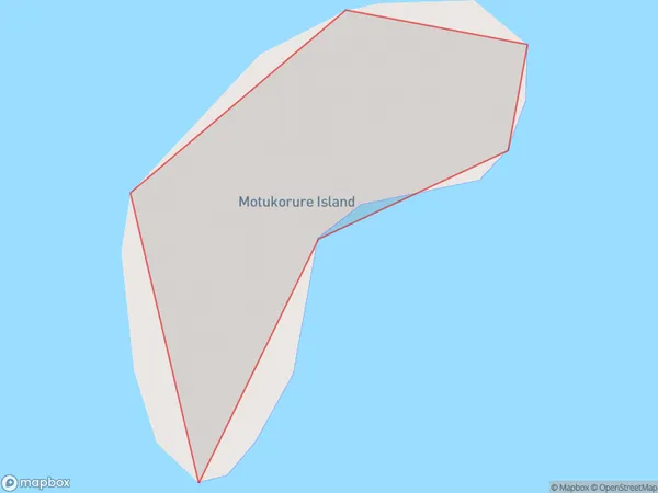
0 people live in Motukorure Island / Centre Island, Brighton, NZMotukorure Island / Centre Island Suburb Area Map (Polygon)
Motukorure Island / Centre Island Introduction
Motukorure Island / Centre Island is located in the southern part of New Zealand's Otago Harbour. It is a small, uninhabited island with a rich history and stunning natural features. The island was once home to a Māori settlement and has several historic buildings and ruins. It is also a popular spot for birdwatching, with a variety of species nesting on the island. The island is accessible by boat from Dunedin or Portobello.Region
Major City
Suburb Name
Motukorure Island / Centre Island (Maori Name: Motukōrure Island / Centre Island)Other Name(s)
Centre Island, Motukorure IslandMotukorure Island / Centre Island Area Map (Street)
Local Authority
Area outside Territorial AuthorityFull Address
Motukorure Island / Centre Island, Area outside Territorial Authority,Address Type
IslandMotukorure Island / Centre Island Suburb Map (Satellite)
Country
Main Region in AU
OtagoMotukorure Island / Centre Island Region Map
Coordinates
0,0 (latitude/longitude)Distances
The distance from Motukorure Island / Centre Island, , Area outside Territorial Authority to NZ Top 10 Cities