Motukopake Island Area, Motukopake Island Postcode(3500) & Map in Motukopake Island
Motukopake Island Area, Motukopake Island Postcode(3500) & Map in Motukopake Island, Thames-Coromandel District, New Zealand
Motukopake Island, Thames-Coromandel District, New Zealand
Motukopake Island Postcodes
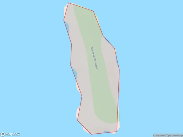
Motukopake Island Area (estimated)
0.2 square kilometersMotukopake Island Population (estimated)
0 people live in Motukopake Island, Waikato, NZMotukopake Island Suburb Area Map (Polygon)
Motukopake Island Introduction
Motukopake Island is a small island in the Waikato region of New Zealand. It is known for its stunning natural beauty, including rugged cliffs, pristine beaches, and diverse wildlife. The island is a popular destination for outdoor activities such as hiking, kayaking, and birdwatching. It is also home to a small community of people who live off the land and maintain traditional Maori practices.Region
Suburb Name
Motukopake IslandOther Name(s)
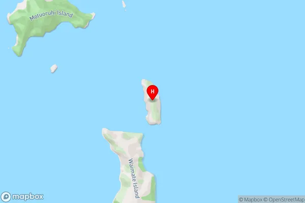
Hauraki GulfMotukopake Island Area Map (Street)
Local Authority
Thames-Coromandel DistrictFull Address
Motukopake Island, Thames-Coromandel District, New ZealandAddress Type
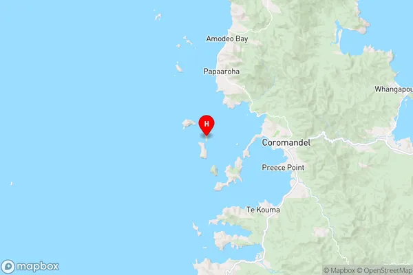
IslandMotukopake Island Suburb Map (Satellite)

Country
Main Region in AU
WaikatoMotukopake Island Region Map
Coordinates
-36.7532327,175.421088368754 (latitude/longitude)Distances
The distance from Motukopake Island, , Thames-Coromandel District to NZ Top 10 Cities