Gowanbridge Area, Gowanbridge Postcode & Map in Gowanbridge
Gowanbridge Area, Gowanbridge Postcode & Map in Gowanbridge, Tasman District, New Zealand
Gowanbridge, Tasman District, New Zealand
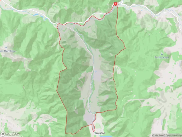
Gowanbridge Area (estimated)
48.0 square kilometersGowanbridge Population (estimated)
12 people live in Gowanbridge, Tasman, NZGowanbridge Suburb Area Map (Polygon)
Gowanbridge Introduction
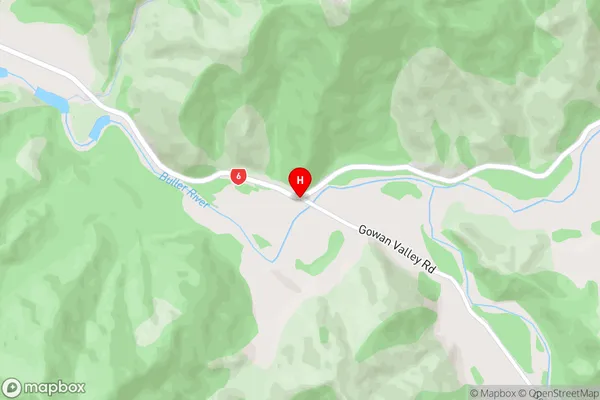
Gowanbridge is a small rural community in St. Arnaud, Tasman, New Zealand. It is located on State Highway 6, approximately 20 kilometers south of Nelson. The area is known for its scenic beauty, including the Gowanbridge Forest Park and the nearby Gowanbridge River. The community has a primary school, a post office, and a small supermarket.00Suburb Name
GowanbridgeGowanbridge Area Map (Street)
Local Authority
Tasman DistrictFull Address
Gowanbridge, Tasman District, New ZealandAddress Type
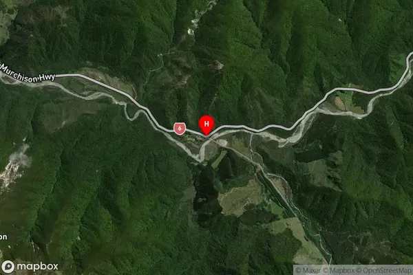
Locality in Major Locality St. ArnaudGowanbridge Suburb Map (Satellite)
Country
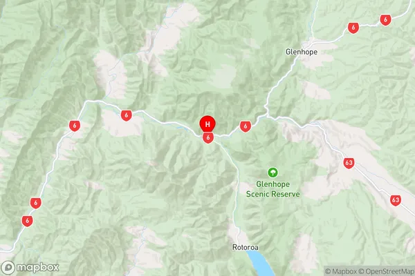
Main Region in AU
TasmanGowanbridge Region Map
Coordinates
-41.7125666,172.5572127 (latitude/longitude)Distances
The distance from Gowanbridge, St. Arnaud, Tasman District to NZ Top 10 Cities