Motukiore Island Area, Motukiore Island Postcode & Map in Motukiore Island
Motukiore Island Area, Motukiore Island Postcode & Map in Motukiore Island, Whangarei District, New Zealand
Motukiore Island, Whangarei District, New Zealand
Motukiore Island Area (estimated)
0.1 square kilometersMotukiore Island Population (estimated)
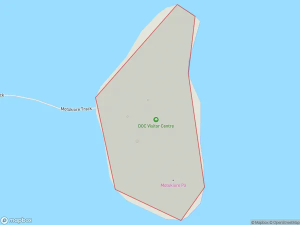
0 people live in Motukiore Island, Northland, NZMotukiore Island Suburb Area Map (Polygon)
Motukiore Island Introduction
Motukiore Island is a small, uninhabited island in the Bay of Islands, Northland, New Zealand. It is known for its scenic beauty, including lush forests, pristine beaches, and crystal-clear waters. The island is a popular destination for hiking, kayaking, and wildlife viewing, with a variety of bird species and marine life. It is also home to a historic stone church and a small community of native trees.Region
Suburb Name
Motukiore IslandOther Name(s)
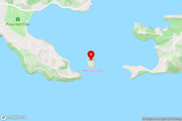
Parua BayMotukiore Island Area Map (Street)
Local Authority
Whangarei DistrictFull Address
Motukiore Island, Whangarei District, New ZealandAddress Type
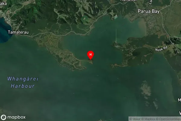
IslandMotukiore Island Suburb Map (Satellite)
Country
Main Region in AU
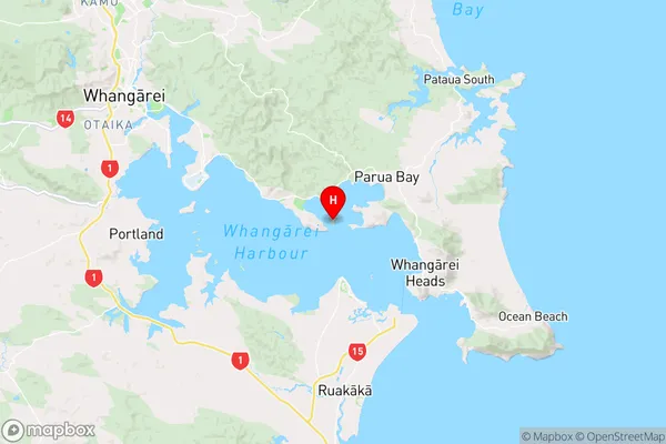
NorthlandMotukiore Island Region Map
Coordinates
-35.79093165,174.448372537041 (latitude/longitude)Distances
The distance from Motukiore Island, , Whangarei District to NZ Top 10 Cities