Motuketekete Island Area, Motuketekete Island Postcode(0622) & Map in Motuketekete Island
Motuketekete Island Area, Motuketekete Island Postcode(0622) & Map in Motuketekete Island, Auckland, New Zealand
Motuketekete Island, Auckland, New Zealand
Motuketekete Island Postcodes
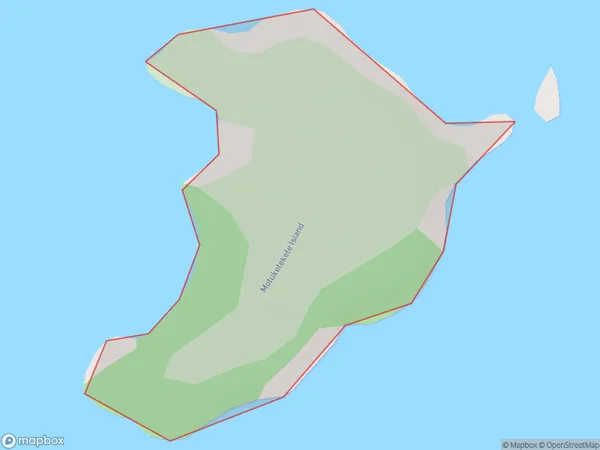
Motuketekete Island Area (estimated)
0.3 square kilometersMotuketekete Island Population (estimated)
0 people live in Motuketekete Island, Rodney, NZMotuketekete Island Suburb Area Map (Polygon)
Motuketekete Island Introduction
Motuketekete Island is a small, uninhabited island in the Hauraki Gulf, located off the coast of Auckland, New Zealand. It is known for its scenic beauty, including rugged cliffs, sandy beaches, and native bird species. The island is a popular destination for hiking, kayaking, and wildlife watching. It is also home to a small community of seals and is protected as a nature reserve.Region
Major City
Suburb Name
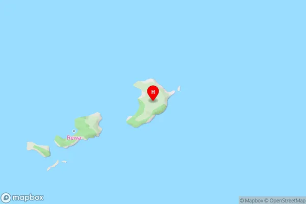
Motuketekete IslandOther Name(s)
Hauraki GulfMotuketekete Island Area Map (Street)
Local Authority
AucklandFull Address
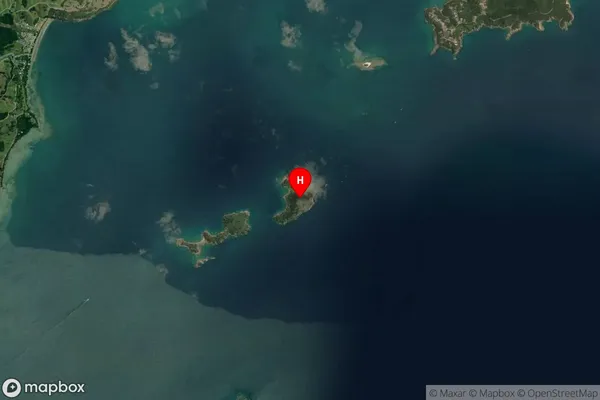
Motuketekete Island, Auckland, New ZealandAddress Type
IslandMotuketekete Island Suburb Map (Satellite)
Country
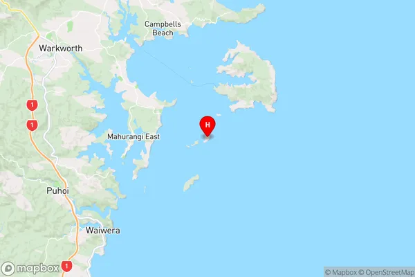
Main Region in AU
AucklandMotuketekete Island Region Map
Coordinates
-36.4704692,174.809887397496 (latitude/longitude)Distances
The distance from Motuketekete Island, , Auckland to NZ Top 10 Cities