Motukauere Island Area, Motukauere Island Postcode & Map in Motukauere Island
Motukauere Island Area, Motukauere Island Postcode & Map in Motukauere Island, Waikato District, New Zealand
Motukauere Island, Waikato District, New Zealand
Motukauere Island Area (estimated)
0.4 square kilometersMotukauere Island Population (estimated)
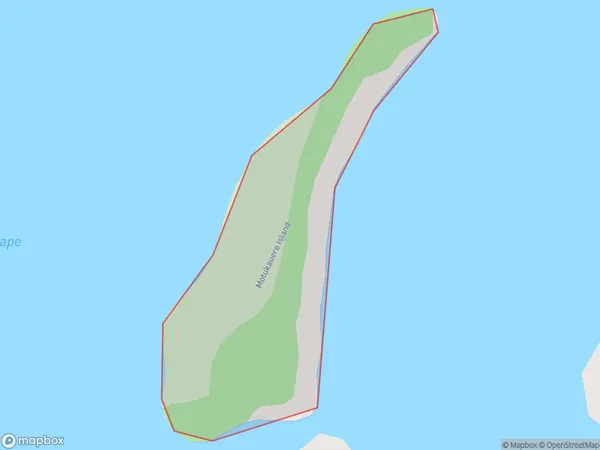
0 people live in Motukauere Island, Waikato, NZMotukauere Island Suburb Area Map (Polygon)
Region
Suburb Name
Motukauere IslandOther Name(s)
Lake WhangapeMotukauere Island Area Map (Street)

Local Authority
Waikato DistrictFull Address
Motukauere Island, Waikato District, New ZealandAddress Type
IslandMotukauere Island Suburb Map (Satellite)

Country
Main Region in AU
WaikatoMotukauere Island Region Map

Coordinates
-37.4686454,175.061836184908 (latitude/longitude)Distances
The distance from Motukauere Island, , Waikato District to NZ Top 10 Cities