Motukaroro Island Area, Motukaroro Island Postcode & Map in Motukaroro Island
Motukaroro Island Area, Motukaroro Island Postcode & Map in Motukaroro Island, Whangarei District, New Zealand
Motukaroro Island, Whangarei District, New Zealand
Motukaroro Island Area (estimated)
0.0 square kilometersMotukaroro Island Population (estimated)
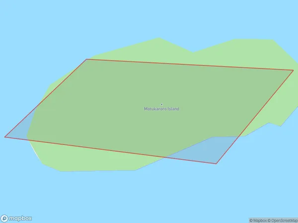
0 people live in Motukaroro Island, Northland, NZMotukaroro Island Suburb Area Map (Polygon)
Motukaroro Island Introduction
Motukaroro Island is a small, uninhabited island in the Bay of Islands, Northland, New Zealand. It is known for its stunning natural beauty, including crystal-clear waters, lush forests, and unique wildlife. The island is a popular destination for hiking, kayaking, and snorkeling, and is part of the Motukaroro Island Marine Reserve, which is a protected area that covers over 100 square kilometers of ocean and coastline.Region
Suburb Name
Motukaroro IslandOther Name(s)
Whangarei Harbour (Maori Name: Whangārei Harbour)Motukaroro Island Area Map (Street)

Local Authority
Whangarei DistrictFull Address
Motukaroro Island, Whangarei District, New ZealandAddress Type
IslandMotukaroro Island Suburb Map (Satellite)

Country
Main Region in AU
NorthlandMotukaroro Island Region Map

Coordinates
-35.8301531,174.497545470646 (latitude/longitude)Distances
The distance from Motukaroro Island, , Whangarei District to NZ Top 10 Cities