Motukahakaha Island Area, Motukahakaha Island Postcode & Map in Motukahakaha Island
Motukahakaha Island Area, Motukahakaha Island Postcode & Map in Motukahakaha Island, Far North District, New Zealand
Motukahakaha Island, Far North District, New Zealand
Motukahakaha Island Area (estimated)
0.0 square kilometersMotukahakaha Island Population (estimated)
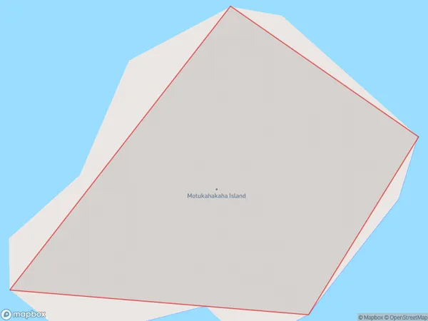
0 people live in Motukahakaha Island, Northland, NZMotukahakaha Island Suburb Area Map (Polygon)
Motukahakaha Island Introduction
Motukahakaha Island is a small, uninhabited island in the Bay of Islands, Northland, New Zealand. It is known for its stunning natural beauty, including crystal-clear waters, lush forests, and breathtaking cliffs. The island is a popular destination for hiking, kayaking, and snorkeling, and is home to a variety of wildlife, including birds, sea turtles, and dolphins.Region
Suburb Name
Motukahakaha IslandOther Name(s)
Cavalli Islands, Cavalli PassageMotukahakaha Island Area Map (Street)

Local Authority
Far North DistrictFull Address
Motukahakaha Island, Far North District, New ZealandAddress Type
IslandMotukahakaha Island Suburb Map (Satellite)

Country
Main Region in AU
NorthlandMotukahakaha Island Region Map

Coordinates
-35.0294187,173.937343296335 (latitude/longitude)Distances
The distance from Motukahakaha Island, , Far North District to NZ Top 10 Cities