Motukaha Island Area, Motukaha Island Postcode(0622) & Map in Motukaha Island
Motukaha Island Area, Motukaha Island Postcode(0622) & Map in Motukaha Island, Auckland, New Zealand
Motukaha Island, Auckland, New Zealand
Motukaha Island Postcodes
Motukaha Island Area (estimated)
0.0 square kilometersMotukaha Island Population (estimated)
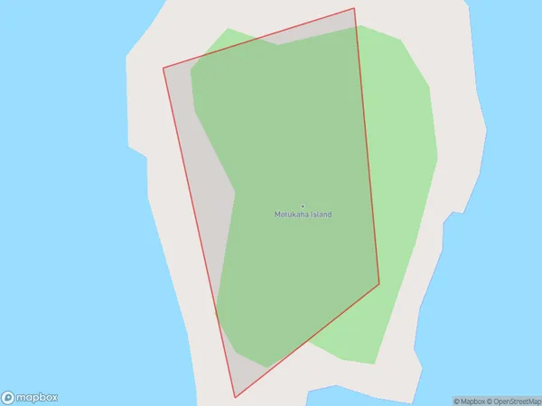
0 people live in Motukaha Island, Waiheke, NZMotukaha Island Suburb Area Map (Polygon)
Motukaha Island Introduction
Motukaha Island is a small, privately owned island in the Hauraki Gulf, just off the coast of Auckland, New Zealand. It is known for its stunning beaches, crystal-clear waters, and diverse marine life, including whales, dolphins, and sea turtles. The island has a population of around 100 people and is accessible by boat or helicopter. It is a popular destination for outdoor activities such as snorkeling, kayaking, and hiking, and has a range of accommodation options, including luxury resorts and eco-friendly lodges.Region
Major City
Suburb Name
Motukaha IslandOther Name(s)
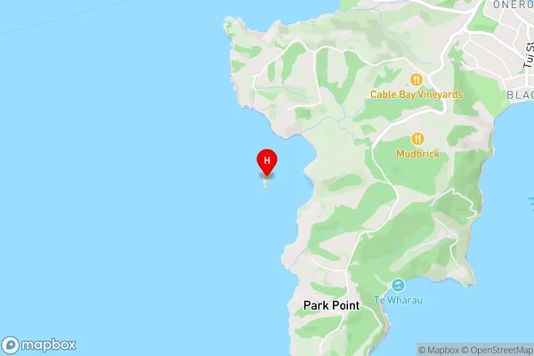
Hauraki GulfMotukaha Island Area Map (Street)
Local Authority
AucklandFull Address
Motukaha Island, Auckland, New ZealandAddress Type
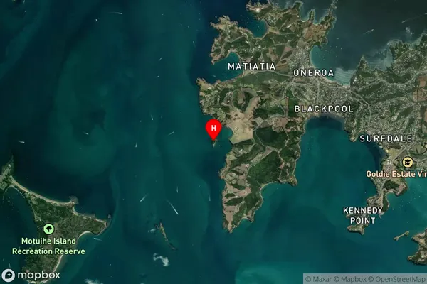
IslandMotukaha Island Suburb Map (Satellite)
Country
Main Region in AU
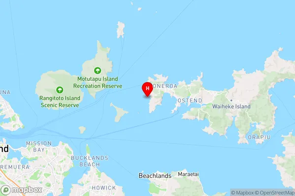
AucklandMotukaha Island Region Map
Coordinates
-36.7953125,174.985683771287 (latitude/longitude)Distances
The distance from Motukaha Island, , Auckland to NZ Top 10 Cities