Motuiwi Island Area, Motuiwi Island Postcode & Map in Motuiwi Island
Motuiwi Island Area, Motuiwi Island Postcode & Map in Motuiwi Island, Far North District, New Zealand
Motuiwi Island, Far North District, New Zealand
Motuiwi Island Area (estimated)
0.0 square kilometersMotuiwi Island Population (estimated)
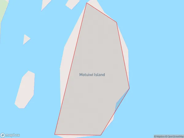
0 people live in Motuiwi Island, Northland, NZMotuiwi Island Suburb Area Map (Polygon)
Motuiwi Island Introduction
Motuiwi Island is a small, uninhabited island in the Bay of Islands, Northland, New Zealand. It is known for its scenic beauty, including rugged cliffs, sandy beaches, and lush forests. The island is a popular destination for hiking, camping, and wildlife viewing, with a variety of bird species and occasional visits from dolphins and whales. Motuiwi Island is also home to a historic stone church, built in the 1840s by New Zealand settlers.Region
Suburb Name
Motuiwi IslandMotuiwi Island Area Map (Street)

Local Authority
Far North DistrictFull Address
Motuiwi Island, Far North District, New ZealandAddress Type
IslandMotuiwi Island Suburb Map (Satellite)

Country
Main Region in AU
NorthlandMotuiwi Island Region Map

Coordinates
-35.0538661,173.94025276185 (latitude/longitude)Distances
The distance from Motuiwi Island, , Far North District to NZ Top 10 Cities