Motuhoropapa Island Area, Motuhoropapa Island Postcode(0622) & Map in Motuhoropapa Island
Motuhoropapa Island Area, Motuhoropapa Island Postcode(0622) & Map in Motuhoropapa Island, Auckland, New Zealand
Motuhoropapa Island, Auckland, New Zealand
Motuhoropapa Island Postcodes
Motuhoropapa Island Area (estimated)
0.1 square kilometersMotuhoropapa Island Population (estimated)
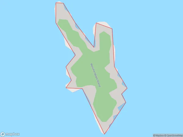
0 people live in Motuhoropapa Island, Waiheke, NZMotuhoropapa Island Suburb Area Map (Polygon)
Motuhoropapa Island Introduction
Motuhoropapa Island is a small, rocky island in the Hauraki Gulf, located off the coast of Auckland, New Zealand. It is known for its historic significance as a place of refuge for Polynesian settlers and as the site of a significant battle during the New Zealand Wars. The island is now a popular tourist destination and is home to a variety of wildlife, including penguins, seals, and bird species.Region
Major City
Suburb Name
Motuhoropapa IslandOther Name(s)
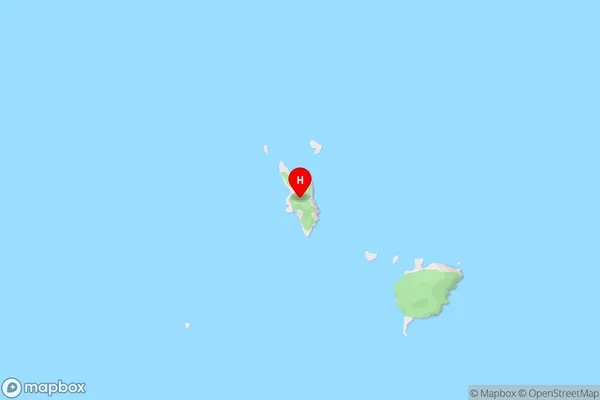
The Noises, Hauraki GulfMotuhoropapa Island Area Map (Street)
Local Authority
AucklandFull Address
Motuhoropapa Island, Auckland, New ZealandAddress Type
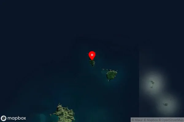
IslandMotuhoropapa Island Suburb Map (Satellite)
Country
Main Region in AU
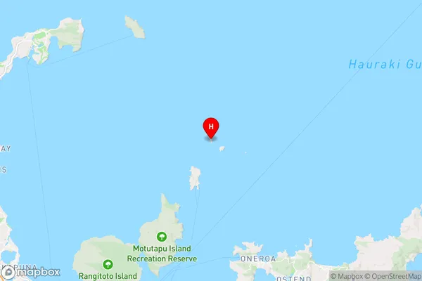
AucklandMotuhoropapa Island Region Map
Coordinates
-36.68920835,174.963975167394 (latitude/longitude)Distances
The distance from Motuhoropapa Island, , Auckland to NZ Top 10 Cities