Motuhoa Island Area, Motuhoa Island Postcode(3110) & Map in Motuhoa Island
Motuhoa Island Area, Motuhoa Island Postcode(3110) & Map in Motuhoa Island, Western Bay of Plenty District, New Zealand
Motuhoa Island, Western Bay of Plenty District, New Zealand
Motuhoa Island Postcodes
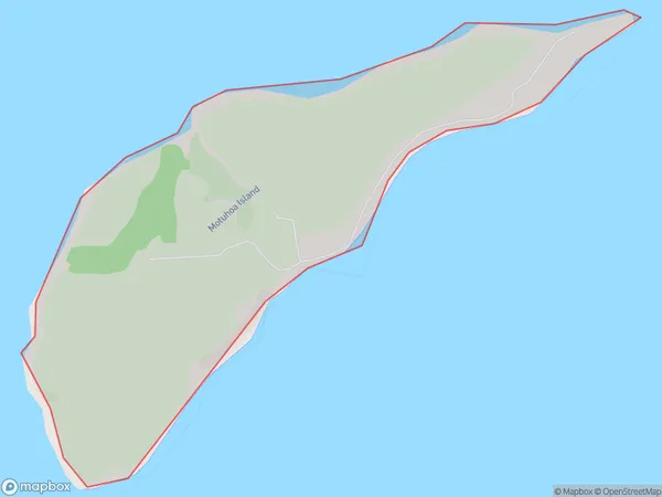
Motuhoa Island Area (estimated)
1.3 square kilometersMotuhoa Island Population (estimated)
0 people live in Motuhoa Island, Bay of Plenty, NZMotuhoa Island Suburb Area Map (Polygon)
Motuhoa Island Introduction
Motuhoa Island is a privately owned island in the Bay of Plenty, New Zealand. It is a popular destination for outdoor activities such as hiking, fishing, and kayaking. The island has a population of around 50 people and is known for its stunning natural beauty, including lush forests, crystal-clear waters, and stunning beaches.Region
Major City
Suburb Name
Motuhoa IslandOther Name(s)
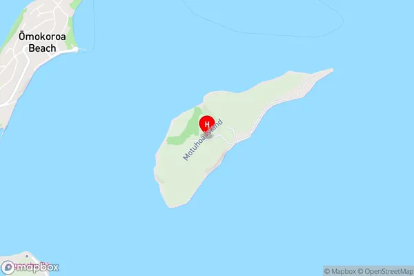
Tauranga HarbourMotuhoa Island Area Map (Street)
Local Authority
Western Bay of Plenty DistrictFull Address
Motuhoa Island, Western Bay of Plenty District, New ZealandAddress Type
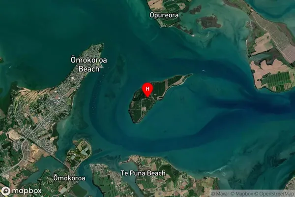
IslandMotuhoa Island Suburb Map (Satellite)
Country
Main Region in AU
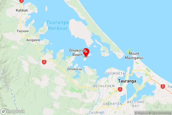
Bay of PlentyMotuhoa Island Region Map
Coordinates
-37.64152885,176.06894570298 (latitude/longitude)Distances
The distance from Motuhoa Island, , Western Bay of Plenty District to NZ Top 10 Cities