Motuharakeke Island Area, Motuharakeke Island Postcode(1148) & Map in Motuharakeke Island
Motuharakeke Island Area, Motuharakeke Island Postcode(1148) & Map in Motuharakeke Island, Auckland, New Zealand
Motuharakeke Island, Auckland, New Zealand
Motuharakeke Island Postcodes
Motuharakeke Island Area (estimated)
0.0 square kilometersMotuharakeke Island Population (estimated)
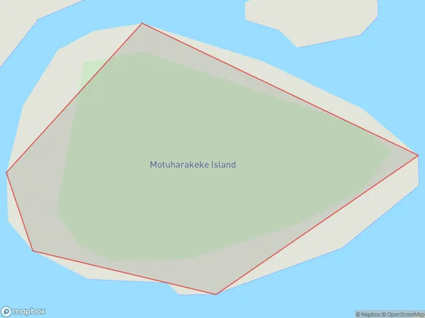
0 people live in Motuharakeke Island, Aotea Great Barrier, NZMotuharakeke Island Suburb Area Map (Polygon)
Motuharakeke Island Introduction
Motuharakeke Island is a small, forested island in the Hauraki Gulf, located in Auckland, New Zealand. It is a popular destination for day trips and has a rich cultural history and stunning natural scenery. The island is home to a variety of bird species and is also known for its beautiful beaches and lush vegetation.Region
Major City
Suburb Name
Motuharakeke IslandOther Name(s)
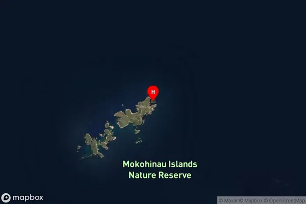
Mokohinau IslandsMotuharakeke Island Area Map (Street)

Local Authority
AucklandFull Address
Motuharakeke Island, Auckland, New ZealandAddress Type
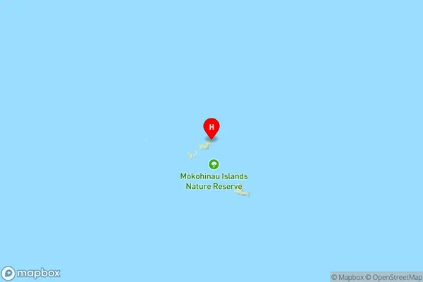
IslandMotuharakeke Island Suburb Map (Satellite)
Country
Main Region in AU
AucklandMotuharakeke Island Region Map
Coordinates
-35.9014321,175.119352927189 (latitude/longitude)Distances
The distance from Motuharakeke Island, , Auckland to NZ Top 10 Cities