Motuhaku Island Area, Motuhaku Island Postcode(0622) & Map in Motuhaku Island
Motuhaku Island Area, Motuhaku Island Postcode(0622) & Map in Motuhaku Island, Auckland, New Zealand
Motuhaku Island, Auckland, New Zealand
Motuhaku Island Postcodes
Motuhaku Island Area (estimated)
0.5 square kilometersMotuhaku Island Population (estimated)
0 people live in Motuhaku Island, Aotea Great Barrier, NZMotuhaku Island Suburb Area Map (Polygon)
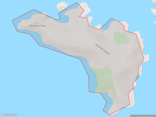
Motuhaku Island Introduction
Motuhaku Island is a small, uninhabited island located in the Hauraki Gulf, just off the coast of Auckland, New Zealand. It is known for its stunning natural beauty, including rugged cliffs, pristine beaches, and diverse marine life. The island is a popular destination for outdoor activities such as hiking, kayaking, and snorkeling, and is also home to a small community of native birds.Region
Major City
Suburb Name
Motuhaku IslandOther Name(s)
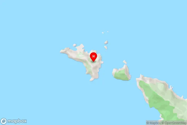
Hauraki GulfMotuhaku Island Area Map (Street)
Local Authority
AucklandFull Address
Motuhaku Island, Auckland, New ZealandAddress Type
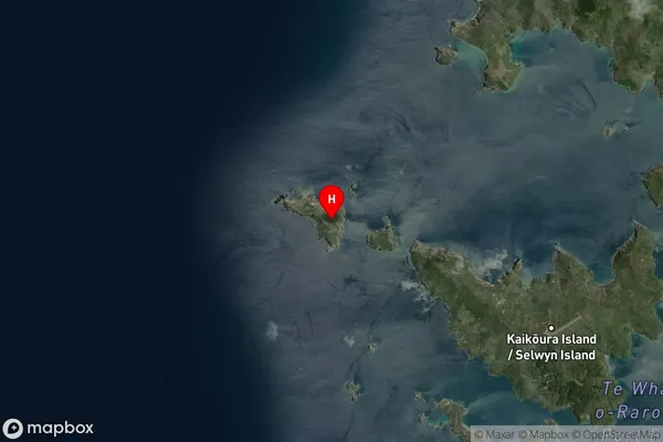
IslandMotuhaku Island Suburb Map (Satellite)
Country
Main Region in AU
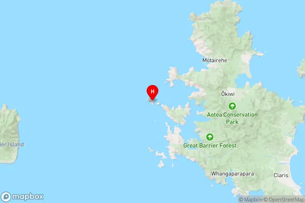
AucklandMotuhaku Island Region Map
Coordinates
-36.1634899,175.291081568234 (latitude/longitude)Distances
The distance from Motuhaku Island, , Auckland to NZ Top 10 Cities