Motuekaiti Island Area, Motuekaiti Island Postcode & Map in Motuekaiti Island
Motuekaiti Island Area, Motuekaiti Island Postcode & Map in Motuekaiti Island, Far North District, New Zealand
Motuekaiti Island, Far North District, New Zealand
Motuekaiti Island Area (estimated)
0.0 square kilometersMotuekaiti Island Population (estimated)
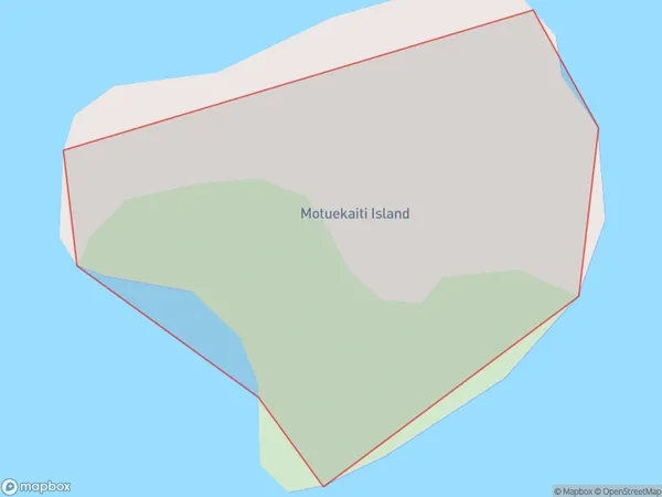
0 people live in Motuekaiti Island, Northland, NZMotuekaiti Island Suburb Area Map (Polygon)
Motuekaiti Island Introduction
Motueka Island is located in the Bay of Islands, Northland, New Zealand. It is known for its scenic beauty, including lush forests, pristine beaches, and crystal-clear waters. The island is a popular destination for outdoor activities such as hiking, kayaking, and snorkeling. It is also home to a variety of native birds and animals, including the rare kiwi bird. Motueka Island has a rich cultural heritage, with evidence of early Māori settlement dating back to over 1000 years ago. The island is also home to a historic church and a small community of residents.Region
Suburb Name
Motuekaiti IslandMotuekaiti Island Area Map (Street)

Local Authority
Far North DistrictFull Address
Motuekaiti Island, Far North District, New ZealandAddress Type
IslandMotuekaiti Island Suburb Map (Satellite)

Country
Main Region in AU
NorthlandMotuekaiti Island Region Map

Coordinates
-34.9867502,173.862659294265 (latitude/longitude)Distances
The distance from Motuekaiti Island, , Far North District to NZ Top 10 Cities