Motueka Island (Pigeon Island) Area, Motueka Island (Pigeon Island) Postcode(3500) & Map in Motueka Island (Pigeon Island)
Motueka Island (Pigeon Island) Area, Motueka Island (Pigeon Island) Postcode(3500) & Map in Motueka Island (Pigeon Island), Thames-Coromandel District, New Zealand
Motueka Island (Pigeon Island), Thames-Coromandel District, New Zealand
Motueka Island (Pigeon Island) Postcodes
Motueka Island (Pigeon Island) Area (estimated)
0.1 square kilometersMotueka Island (Pigeon Island) Population (estimated)
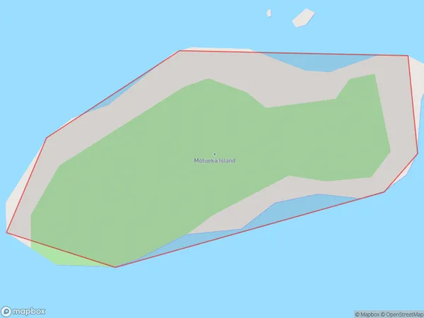
0 people live in Motueka Island (Pigeon Island), Waikato, NZMotueka Island (Pigeon Island) Suburb Area Map (Polygon)

Motueka Island (Pigeon Island) Introduction
Motueka Island (Pigeon Island), located in the Waikato region of New Zealand, is a small, picturesque island known for its rich cultural heritage, stunning natural landscapes, and diverse wildlife. It is a popular destination for day trips and outdoor activities, including hiking, birdwatching, and exploring the historic ruins of the Motueka Island Fort. The island has a peaceful and tranquil atmosphere, with beautiful beaches, lush forests, and a historic village that retains its colonial charm.Region
Suburb Name
Motueka Island (Pigeon Island)Other Name(s)
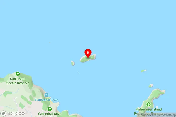
Motueka Island, Pigeon IslandMotueka Island (Pigeon Island) Area Map (Street)

Local Authority
Thames-Coromandel DistrictFull Address
Motueka Island (Pigeon Island), Thames-Coromandel District, New ZealandAddress Type
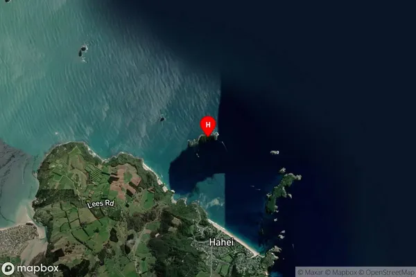
IslandMotueka Island (Pigeon Island) Suburb Map (Satellite)

Country
Main Region in AU
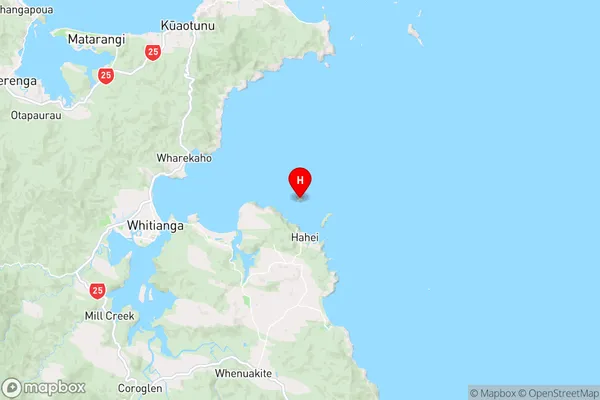
WaikatoMotueka Island (Pigeon Island) Region Map

Coordinates
-36.8192553,175.801734627194 (latitude/longitude)Distances
The distance from Motueka Island (Pigeon Island), , Thames-Coromandel District to NZ Top 10 Cities