Motuara Island Area, Motuara Island Postcode & Map in Motuara Island
Motuara Island Area, Motuara Island Postcode & Map in Motuara Island, Marlborough District, New Zealand
Motuara Island, Marlborough District, New Zealand
Motuara Island Area (estimated)
0.7 square kilometersMotuara Island Population (estimated)
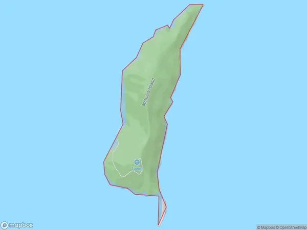
0 people live in Motuara Island, Marlborough, NZMotuara Island Suburb Area Map (Polygon)
Motuara Island Introduction
Motuara Island is located in the Marlborough Sounds, New Zealand. It is a small, uninhabited island with a beautiful beach and lush vegetation. The island is a popular spot for hiking, camping, and fishing and is known for its stunning natural beauty and peaceful atmosphere.Region
0Suburb Name
Motuara IslandOther Name(s)
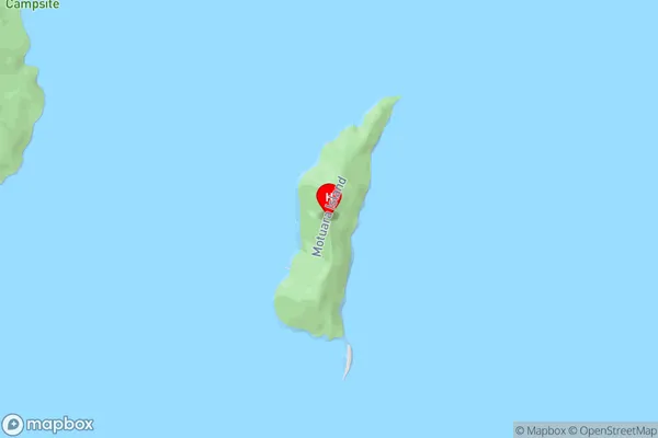
Queen Charlotte Sound (Totaranui)Motuara Island Area Map (Street)
Local Authority
Marlborough DistrictFull Address
Motuara Island, Marlborough District, New ZealandAddress Type
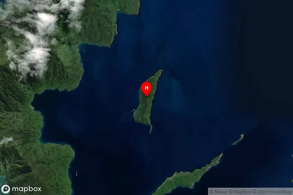
Island in Major Locality Marlborough SoundsMotuara Island Suburb Map (Satellite)
Country
Main Region in AU
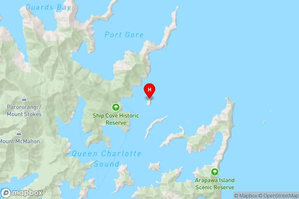
MarlboroughMotuara Island Region Map
Coordinates
-41.09093165,174.274815583838 (latitude/longitude)Distances
The distance from Motuara Island, Marlborough Sounds, Marlborough District to NZ Top 10 Cities