Motuanauru Island Area, Motuanauru Island Postcode & Map in Motuanauru Island
Motuanauru Island Area, Motuanauru Island Postcode & Map in Motuanauru Island, Marlborough District, New Zealand
Motuanauru Island, Marlborough District, New Zealand
Motuanauru Island Area (estimated)
0.1 square kilometersMotuanauru Island Population (estimated)
0 people live in Motuanauru Island, Marlborough, NZMotuanauru Island Suburb Area Map (Polygon)
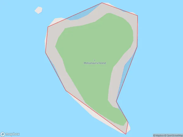
Motuanauru Island Introduction
Motuanauru Island is a small, uninhabited island in the Marlborough Sounds of New Zealand. It is part of the Renwick Island Group and is known for its stunning natural beauty, including crystal-clear waters, lush forests, and breathtaking sunsets. The island is a popular destination for kayaking, snorkeling, and hiking, and is also home to a variety of bird species. Motuanauru Island is a protected area and is accessible only by boat or helicopter.Region
0Suburb Name
Motuanauru IslandOther Name(s)
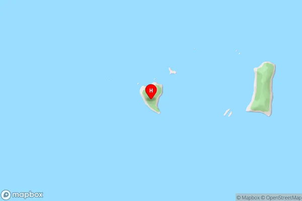
Croisilles HarbourMotuanauru Island Area Map (Street)
Local Authority
Marlborough DistrictFull Address
Motuanauru Island, Marlborough District, New ZealandAddress Type
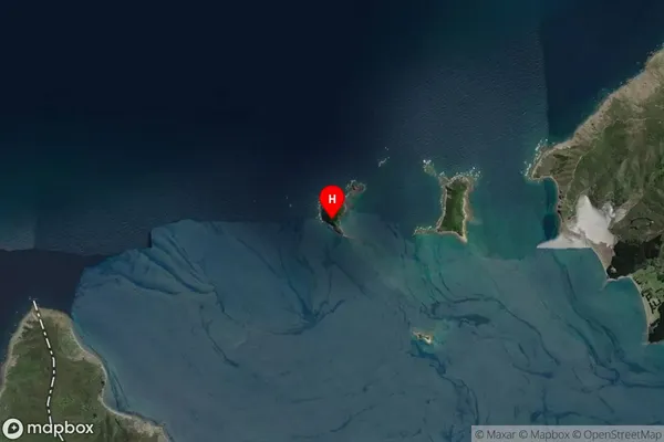
Island in Major Locality Marlborough SoundsMotuanauru Island Suburb Map (Satellite)
Country
Main Region in AU
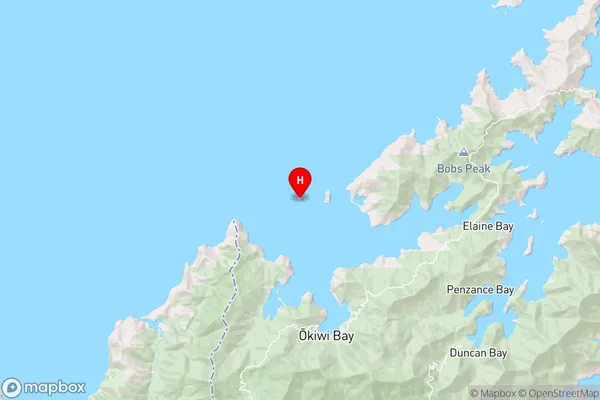
MarlboroughMotuanauru Island Region Map
Coordinates
-41.04185395,173.640188686872 (latitude/longitude)Distances
The distance from Motuanauru Island, Marlborough Sounds, Marlborough District to NZ Top 10 Cities