Motu Kauri Island Area, Motu Kauri Island Postcode & Map in Motu Kauri Island
Motu Kauri Island Area, Motu Kauri Island Postcode & Map in Motu Kauri Island, Far North District, New Zealand
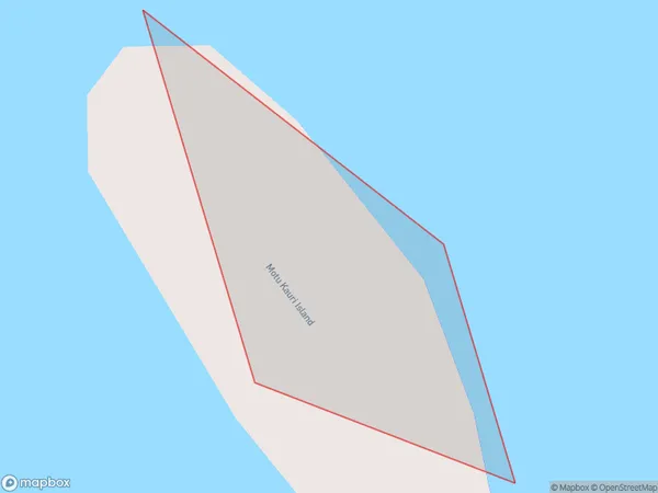
Motu Kauri Island, Far North District, New Zealand
Motu Kauri Island Area (estimated)
0.0 square kilometersMotu Kauri Island Population (estimated)
0 people live in Motu Kauri Island, Bay of Islands-Whangaroa Community, NZMotu Kauri Island Suburb Area Map (Polygon)
Motu Kauri Island Introduction
Motu Kauri Island is a small, uninhabited island in the Bay of Islands, Northland, New Zealand. It is known for its ancient kauri trees, which are some of the oldest and largest trees in the world. The island is a protected area and is part of the Motu Kauri National Park.Region
Major City
Suburb Name
Motu Kauri IslandOther Name(s)
Whangaroa HarbourMotu Kauri Island Area Map (Street)

Local Authority
Far North DistrictFull Address
Motu Kauri Island, Far North District, New ZealandAddress Type
IslandMotu Kauri Island Suburb Map (Satellite)

Country
Main Region in AU
NorthlandMotu Kauri Island Region Map

Coordinates
-35.04261485,173.730071238483 (latitude/longitude)Distances
The distance from Motu Kauri Island, , Far North District to NZ Top 10 Cities