Motu Kapiti Island Area, Motu Kapiti Island Postcode & Map in Motu Kapiti Island
Motu Kapiti Island Area, Motu Kapiti Island Postcode & Map in Motu Kapiti Island, Whangarei District, New Zealand
Motu Kapiti Island, Whangarei District, New Zealand
Motu Kapiti Island Area (estimated)
0.0 square kilometersMotu Kapiti Island Population (estimated)
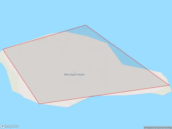
0 people live in Motu Kapiti Island, Northland, NZMotu Kapiti Island Suburb Area Map (Polygon)
Motu Kapiti Island Introduction
Motu Kapiti Island is a small island located off the coast of Northland, New Zealand. It is known for its beautiful beaches, lush forests, and diverse wildlife, including rare birds and marine mammals. The island is a popular destination for tourists and outdoor enthusiasts, with opportunities for hiking, kayaking, and wildlife watching. It is also home to a small community of people who live off the land and maintain traditional Maori practices.Region
Suburb Name
Motu Kapiti IslandOther Name(s)
Poor Knights IslandsMotu Kapiti Island Area Map (Street)

Local Authority
Whangarei DistrictFull Address
Motu Kapiti Island, Whangarei District, New ZealandAddress Type
IslandMotu Kapiti Island Suburb Map (Satellite)

Country
Main Region in AU
NorthlandMotu Kapiti Island Region Map

Coordinates
-35.46994245,174.732955108692 (latitude/longitude)Distances
The distance from Motu Kapiti Island, , Whangarei District to NZ Top 10 Cities