Motu Kaimeanui Island Area, Motu Kaimeanui Island Postcode & Map in Motu Kaimeanui Island
Motu Kaimeanui Island Area, Motu Kaimeanui Island Postcode & Map in Motu Kaimeanui Island, Area outside Territorial Authority, New Zealand
Motu Kaimeanui Island, Area outside Territorial Authority, New Zealand
Motu Kaimeanui Island Area (estimated)
0.0 square kilometersMotu Kaimeanui Island Population (estimated)
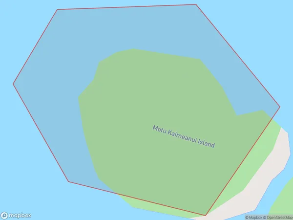
0 people live in Motu Kaimeanui Island, Bay of Plenty, NZMotu Kaimeanui Island Suburb Area Map (Polygon)
Motu Kaimeanui Island Introduction
Motu Kaimeanui Island is a small, uninhabited island in the Bay of Plenty, New Zealand. It is known for its stunning natural beauty, including crystal-clear waters, white sand beaches, and lush tropical vegetation. The island is a popular destination for snorkeling, diving, and kayaking, and is part of the Motu Kaimeanui Marine Reserve, which is a protected area that covers over 100 square kilometers of ocean.Region
Suburb Name
Motu Kaimeanui IslandOther Name(s)
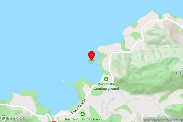
Maraehako BayMotu Kaimeanui Island Area Map (Street)
Local Authority
Area outside Territorial AuthorityFull Address
Motu Kaimeanui Island, Area outside Territorial Authority, New ZealandAddress Type
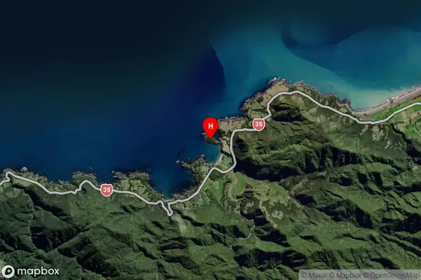
IslandMotu Kaimeanui Island Suburb Map (Satellite)
Country
Main Region in AU
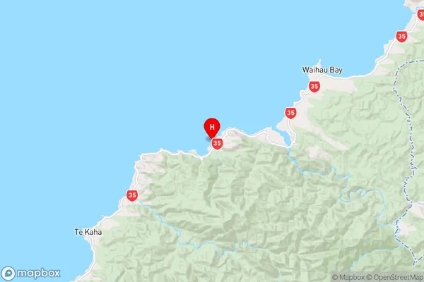
Bay of PlentyMotu Kaimeanui Island Region Map
Coordinates
-37.66899745,177.79891073622 (latitude/longitude)Distances
The distance from Motu Kaimeanui Island, , Area outside Territorial Authority to NZ Top 10 Cities