Motu Island Area, Motu Island Postcode & Map in Motu Island
Motu Island Area, Motu Island Postcode & Map in Motu Island, Tasman District, New Zealand
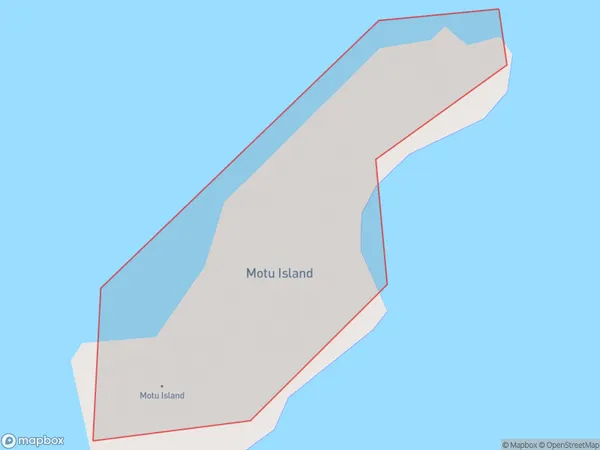
Motu Island, Tasman District, New Zealand
Motu Island Area (estimated)
0.0 square kilometersMotu Island Population (estimated)
0 people live in Motu Island, Tasman, NZMotu Island Suburb Area Map (Polygon)
Motu Island Introduction
Motu Island is a small island in the Tasman Sea, part of the Nelson Region of New Zealand. It is known for its beautiful beaches, lush forests, and unique wildlife, including the rare orange-tailed parakeet. The island is a popular destination for tourists and has a range of accommodation options, including a lodge and camping grounds.Region
Suburb Name
Motu IslandOther Name(s)
Tata Islands, Golden BayMotu Island Area Map (Street)

Local Authority
Tasman DistrictFull Address
Motu Island, Tasman District, New ZealandAddress Type
IslandMotu Island Suburb Map (Satellite)

Country
Main Region in AU
TasmanMotu Island Region Map

Coordinates
-40.80096165,172.913129648683 (latitude/longitude)Distances
The distance from Motu Island, , Tasman District to NZ Top 10 Cities