Motiti Island Area, Motiti Island Postcode(3110) & Map in Motiti Island
Motiti Island Area, Motiti Island Postcode(3110) & Map in Motiti Island, Area outside Territorial Authority, New Zealand
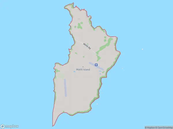
Motiti Island, Area outside Territorial Authority, New Zealand
Motiti Island Postcodes
Motiti Island Area (estimated)
8.5 square kilometersMotiti Island Population (estimated)
20 people live in Motiti Island, Bay of Plenty, NZMotiti Island Suburb Area Map (Polygon)
Motiti Island Introduction
Motiti Island is a small, uninhabited island in the Bay of Plenty, New Zealand. It is known for its stunning natural beauty, including crystal-clear waters, white sand beaches, and lush tropical vegetation. The island is a popular destination for day trips and overnight stays, with visitors able to explore the island's walking tracks, swim in the lagoon, and enjoy the breathtaking views from the top of the island. Motiti Island is also home to a variety of wildlife, including birds, bats, and marine mammals.Region
0Suburb Name
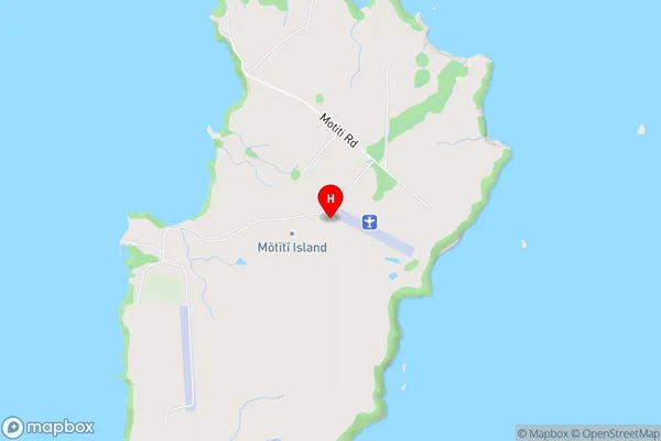
Motiti Island (Maori Name: Mōtītī Island)Other Name(s)
Bay Of PlentyMotiti Island Area Map (Street)
Local Authority
Area outside Territorial AuthorityFull Address
Motiti Island, Area outside Territorial Authority, New ZealandAddress Type
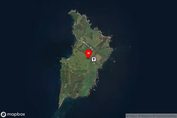
Island in Major Locality Motiti IslandMotiti Island Suburb Map (Satellite)
Country
Main Region in AU
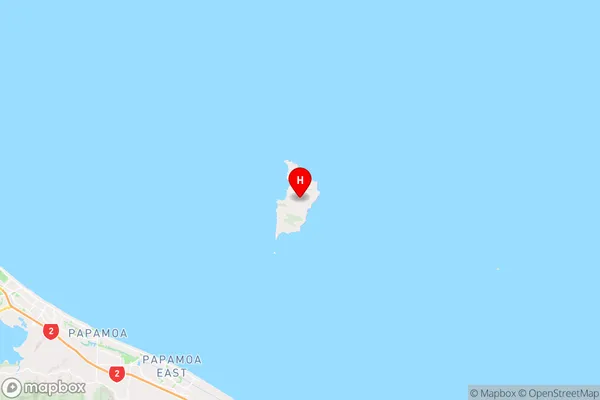
Bay of PlentyMotiti Island Region Map
Coordinates
-37.6247732,176.423930704416 (latitude/longitude)Distances
The distance from Motiti Island, Motiti Island, Area outside Territorial Authority to NZ Top 10 Cities