Mokopuna Island Area, Mokopuna Island Postcode(6021) & Map in Mokopuna Island
Mokopuna Island Area, Mokopuna Island Postcode(6021) & Map in Mokopuna Island, Lower Hutt City, New Zealand
Mokopuna Island, Lower Hutt City, New Zealand
Mokopuna Island Postcodes
0Mokopuna Island Population (estimated)
0 people live in Mokopuna Island, Lower Hutt, NZ0Mokopuna Island Introduction
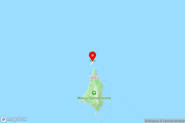
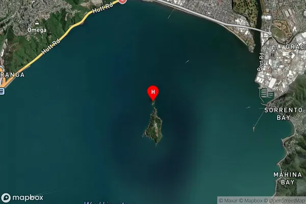
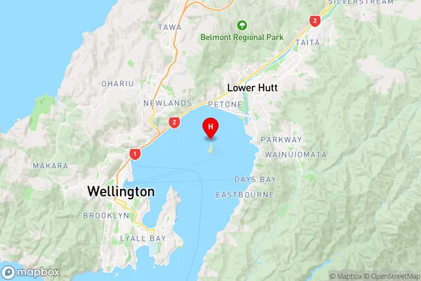
Mokopuna Island is a small island in Wellington Harbour, New Zealand, with a population of around 500 people. It is known for its beautiful beaches, lush vegetation, and stunning views of the city skyline. The island has a rich history, with evidence of human settlement dating back to the 13th century. It was also used as a prison during the 19th century. Today, Mokopuna Island is a popular recreational destination, with visitors able to walk, cycle, or kayak to the island. There are also several historic buildings and ruins on the island, including a former military base and a prison cell.Region
Major City
Suburb Name
Mokopuna IslandOther Name(s)
Wellington Harbour / Port NicholsonMokopuna Island Area Map (Street)
Local Authority
Lower Hutt CityFull Address
Mokopuna Island, Lower Hutt City, New ZealandAddress Type
IslandMokopuna Island Suburb Map (Satellite)
Country
Main Region in AU
WellingtonMokopuna Island Region Map
Coordinates
-41.2513657,174.864802264402 (latitude/longitude)Distances
The distance from Mokopuna Island, , Lower Hutt City to NZ Top 10 Cities