Mokoia Island Area, Mokoia Island Postcode(3010) & Map in Mokoia Island
Mokoia Island Area, Mokoia Island Postcode(3010) & Map in Mokoia Island, Rotorua District, New Zealand
Mokoia Island, Rotorua District, New Zealand
Mokoia Island Postcodes
Mokoia Island Area (estimated)
1.6 square kilometersMokoia Island Population (estimated)
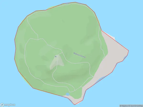
0 people live in Mokoia Island, Rotorua, NZMokoia Island Suburb Area Map (Polygon)
Mokoia Island Introduction
Mokoia Island is a small, uninhabited island in the Bay of Plenty, New Zealand. It is known for its stunning natural beauty, including lush forests, crystal-clear waters, and stunning beaches. The island is a popular destination for hiking, camping, and snorkeling, and is part of the Tauranga Harbour Marine Reserve.Region
Major City
Suburb Name
Mokoia IslandOther Name(s)
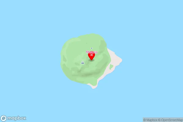
Lake RotoruaMokoia Island Area Map (Street)
Local Authority
Rotorua DistrictFull Address
Mokoia Island, Rotorua District, New ZealandAddress Type
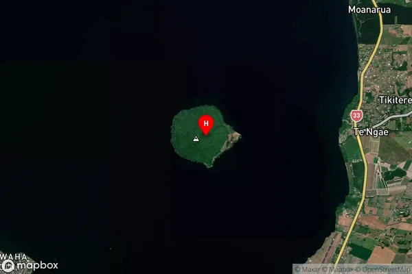
IslandMokoia Island Suburb Map (Satellite)
Country
Main Region in AU
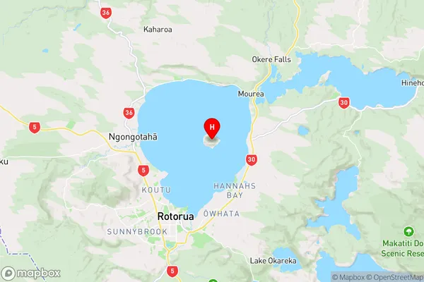
Bay of PlentyMokoia Island Region Map
Coordinates
-38.08038525,176.288340287105 (latitude/longitude)Distances
The distance from Mokoia Island, , Rotorua District to NZ Top 10 Cities