Mokiiti / Little Moggy Island Area, Mokiiti / Little Moggy Island Postcode & Map in Mokiiti / Little Moggy Island
Mokiiti / Little Moggy Island Area, Mokiiti / Little Moggy Island Postcode & Map in Mokiiti / Little Moggy Island, Southland District, New Zealand
Mokiiti / Little Moggy Island, Southland District, New Zealand
Mokiiti / Little Moggy Island Area (estimated)
0.1 square kilometersMokiiti / Little Moggy Island Population (estimated)
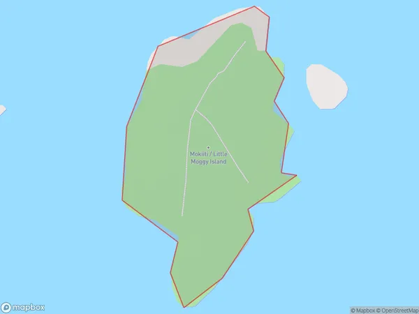
0 people live in Mokiiti / Little Moggy Island, Southland, NZMokiiti / Little Moggy Island Suburb Area Map (Polygon)
Mokiiti / Little Moggy Island Introduction
Mokiiti / Little Moggy Island is a small island in Fiordland, Southland, New Zealand. It is part of the Fiordland National Park and is known for its stunning natural beauty, including waterfalls, rainforests, and crystal-clear lakes. The island is accessible by a scenic boat ride from Te Anau or Milford Sound. Visitors can explore the island's walking tracks, go fishing, or simply relax and enjoy the breathtaking views.Region
Suburb Name
Mokiiti / Little Moggy IslandOther Name(s)
Titi / Muttonbird Islands, Little Moggy Island, Mokiiti (Maori Name: Tītī / Muttonbird Islands, Little Moggy Island, Mokiiti)Mokiiti / Little Moggy Island Area Map (Street)

Local Authority
Southland DistrictFull Address
Mokiiti / Little Moggy Island, Southland District, New ZealandAddress Type
IslandMokiiti / Little Moggy Island Suburb Map (Satellite)

Country
Main Region in AU
SouthlandMokiiti / Little Moggy Island Region Map

Coordinates
-47.1398274,167.416061471545 (latitude/longitude)Distances
The distance from Mokiiti / Little Moggy Island, , Southland District to NZ Top 10 Cities