Moioio Island Area, Moioio Island Postcode & Map in Moioio Island
Moioio Island Area, Moioio Island Postcode & Map in Moioio Island, Marlborough District, New Zealand
Moioio Island, Marlborough District, New Zealand
Moioio Island Area (estimated)
0.0 square kilometersMoioio Island Population (estimated)
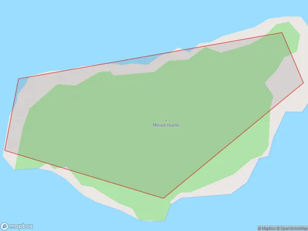
0 people live in Moioio Island, Marlborough, NZMoioio Island Suburb Area Map (Polygon)
Moioio Island Introduction
Moioio Island is a small, privately owned island in the Marlborough Sounds, New Zealand. It is known for its stunning natural beauty, including crystal-clear waters, lush forests, and picturesque beaches. The island has a population of around 50 people and is accessible by boat or helicopter. It is a popular destination for outdoor activities such as hiking, fishing, and kayaking, and has a range of accommodation options, including a luxury lodge and a camping ground.Region
Suburb Name
Moioio Island (Maori Name: Mōioio Island)Other Name(s)
Queen Charlotte Sound (Totaranui)Moioio Island Area Map (Street)

Local Authority
Marlborough DistrictFull Address
Moioio Island, Marlborough District, New ZealandAddress Type
IslandMoioio Island Suburb Map (Satellite)

Country
Main Region in AU
MarlboroughMoioio Island Region Map

Coordinates
-41.24408725,174.215081595142 (latitude/longitude)Distances
The distance from Moioio Island, , Marlborough District to NZ Top 10 Cities