Moerepo Island Area, Moerepo Island Postcode & Map in Moerepo Island
Moerepo Island Area, Moerepo Island Postcode & Map in Moerepo Island, Marlborough District,
Moerepo Island, Marlborough District,
Moerepo Island Area (estimated)
0.2 square kilometersMoerepo Island Population (estimated)
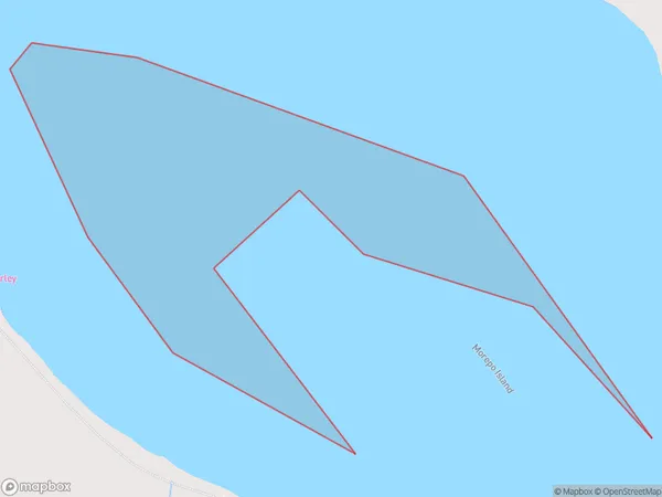
0 people live in Moerepo Island, Brighton, NZMoerepo Island Suburb Area Map (Polygon)
Moerepo Island Introduction
Moerepo Island is a small, uninhabited island in the Otago Harbour, New Zealand. It is known for its scenic beauty, including rugged cliffs, sandy beaches, and native bird species. The island is a popular destination for day trips and outdoor activities such as hiking, kayaking, and fishing. It is also home to a small research facility operated by the Department of Conservation.Region
Major City
Suburb Name
Moerepo IslandOther Name(s)
Big LagoonMoerepo Island Area Map (Street)
Local Authority
Marlborough DistrictFull Address
Moerepo Island, Marlborough District,Address Type
IslandMoerepo Island Suburb Map (Satellite)
Country
Main Region in AU
OtagoMoerepo Island Region Map
Coordinates
0,0 (latitude/longitude)Distances
The distance from Moerepo Island, , Marlborough District to NZ Top 10 Cities