Moanarua Island Area, Moanarua Island Postcode & Map in Moanarua Island
Moanarua Island Area, Moanarua Island Postcode & Map in Moanarua Island, Whangarei District, New Zealand
Moanarua Island, Whangarei District, New Zealand
Moanarua Island Area (estimated)
0.1 square kilometersMoanarua Island Population (estimated)
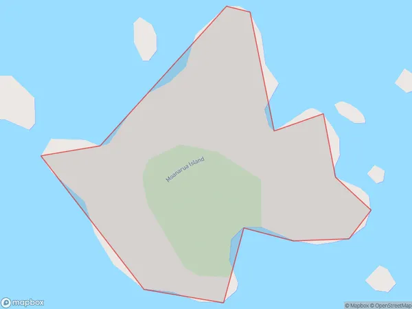
0 people live in Moanarua Island, Northland, NZMoanarua Island Suburb Area Map (Polygon)
Moanarua Island Introduction
Moanarua Island is a predator-free island sanctuary in the Hauraki Gulf, Northland, New Zealand. It is a popular destination for day trips and overnight hikes. The island has a rich history and cultural significance to the local Māori people. It is home to a variety of wildlife, including birds, bats, and marine mammals. Visitors can explore the island's beaches, forests, and archaeological sites.Region
Suburb Name
Moanarua IslandMoanarua Island Area Map (Street)

Local Authority
Whangarei DistrictFull Address
Moanarua Island, Whangarei District, New ZealandAddress Type
IslandMoanarua Island Suburb Map (Satellite)

Country
Main Region in AU
NorthlandMoanarua Island Region Map

Coordinates
-35.3451357,174.373945372499 (latitude/longitude)Distances
The distance from Moanarua Island, , Whangarei District to NZ Top 10 Cities