Red Mercury Island (Whakau) Area, Red Mercury Island (Whakau) Postcode(3500) & Map in Red Mercury Island (Whakau)
Red Mercury Island (Whakau) Area, Red Mercury Island (Whakau) Postcode(3500) & Map in Red Mercury Island (Whakau), Thames-Coromandel District, New Zealand
Red Mercury Island (Whakau), Thames-Coromandel District, New Zealand
Red Mercury Island (Whakau) Postcodes
Red Mercury Island (Whakau) Area (estimated)
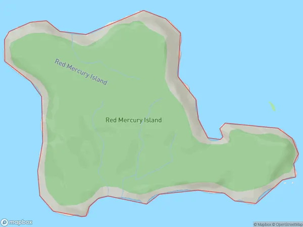
2.7 square kilometersRed Mercury Island (Whakau) Population (estimated)
1 people live in Red Mercury Island (Whakau), Waikato, NZRed Mercury Island (Whakau) Suburb Area Map (Polygon)
Red Mercury Island (Whakau) Introduction
Red Mercury Island is a small island in the Waikato River, New Zealand. It is known for its reddish-brown soil and unique geological features, including a network of caves and a volcanic cone. The island has been designated a reserve and is a popular destination for hiking and nature walks.Region
Suburb Name
Red Mercury Island (Whakau)Other Name(s)
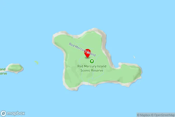
Mercury Islands, Red Mercury Island, WhakauRed Mercury Island (Whakau) Area Map (Street)
Local Authority
Thames-Coromandel DistrictFull Address
Red Mercury Island (Whakau), Thames-Coromandel District, New ZealandAddress Type
IslandRed Mercury Island (Whakau) Suburb Map (Satellite)

Country
Main Region in AU
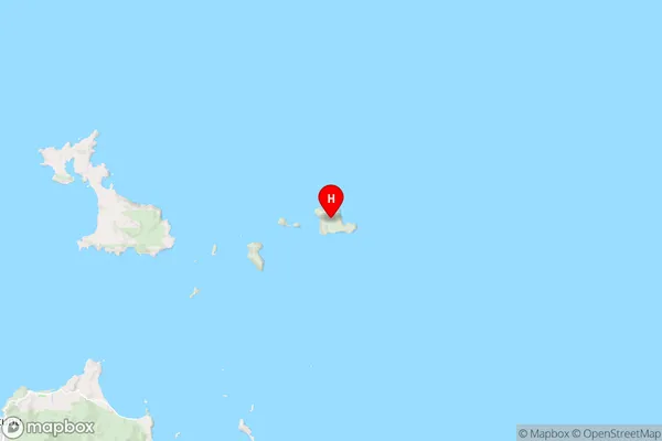
WaikatoRed Mercury Island (Whakau) Region Map
Coordinates
-36.62302,175.933059342492 (latitude/longitude)Distances
The distance from Red Mercury Island (Whakau), , Thames-Coromandel District to NZ Top 10 Cities