Matiu / Somes Island Area, Matiu / Somes Island Postcode(6021) & Map in Matiu / Somes Island
Matiu / Somes Island Area, Matiu / Somes Island Postcode(6021) & Map in Matiu / Somes Island, Lower Hutt City, New Zealand
Matiu / Somes Island, Lower Hutt City, New Zealand
Matiu / Somes Island Postcodes
Matiu / Somes Island Area (estimated)
0.3 square kilometersMatiu / Somes Island Population (estimated)
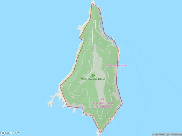
0 people live in Matiu / Somes Island, Lower Hutt, NZMatiu / Somes Island Suburb Area Map (Polygon)
Matiu / Somes Island Introduction
Matiu / Somes Island is a small island in the Hutt River, located in Lower Hutt, Wellington, New Zealand. It is known for its rich biodiversity, including native birds, reptiles, and insects. The island is also home to a historic lighthouse and a military base. The island has a peaceful and serene atmosphere, making it a popular destination for outdoor activities such as walking, cycling, and picnicking.Region
Major City
Suburb Name
Matiu / Somes IslandOther Name(s)
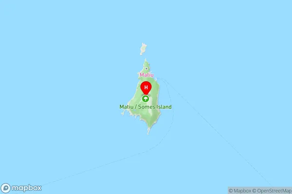
Matiu, Somes Island, Wellington Harbour / Port NicholsonMatiu / Somes Island Area Map (Street)
Local Authority
Lower Hutt CityFull Address
Matiu / Somes Island, Lower Hutt City, New ZealandAddress Type
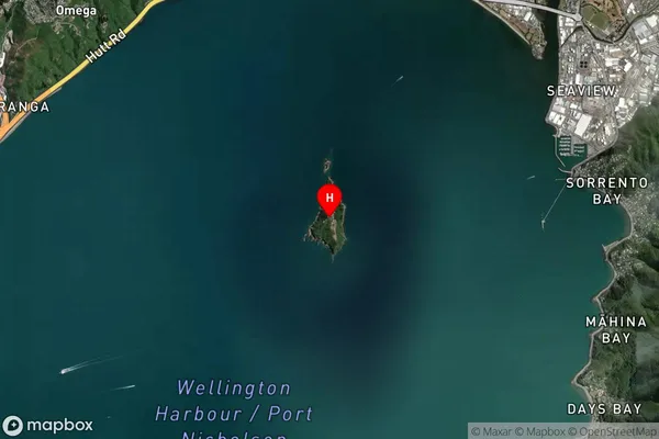
Island in City Lower HuttMatiu / Somes Island Suburb Map (Satellite)
Country
Main Region in AU
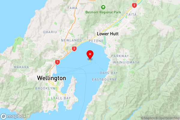
WellingtonMatiu / Somes Island Region Map
Coordinates
-41.257729,174.865328501988 (latitude/longitude)Distances
The distance from Matiu / Somes Island, Lower Hutt, Lower Hutt City to NZ Top 10 Cities