Matakana Island Area, Matakana Island Postcode & Map in Matakana Island
Matakana Island Area, Matakana Island Postcode & Map in Matakana Island, Western Bay of Plenty District, New Zealand
Matakana Island, Western Bay of Plenty District, New Zealand
Matakana Island Area (estimated)
72.5 square kilometersMatakana Island Population (estimated)
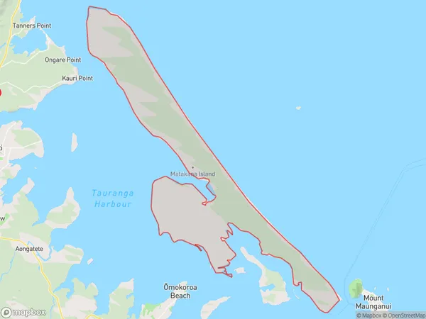
238 people live in Matakana Island, Bay of Plenty, NZMatakana Island Suburb Area Map (Polygon)
Matakana Island Introduction
Matakana Island is a popular destination for day trips from Auckland, known for its beautiful beaches, vineyards, and olive groves. It is also home to a large population of wild goats and a sanctuary for rare birds. The island has a rich history and was once home to a Maori tribe. Visitors can explore the ancient ruins of a pa site, walk through the native forest, or relax on the beach and enjoy the stunning views.Region
Major City
Suburb Name
Matakana IslandOther Name(s)
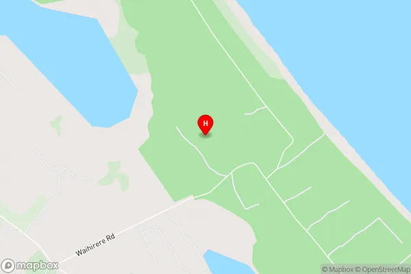
OpureoraMatakana Island Area Map (Street)
Local Authority
Western Bay of Plenty DistrictFull Address
Matakana Island, Western Bay of Plenty District, New ZealandAddress Type
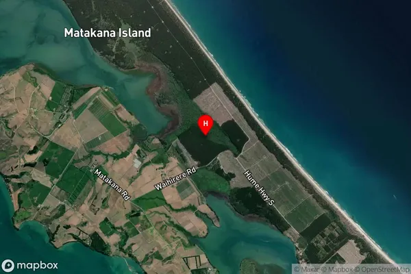
Island in Major Locality Matakana IslandMatakana Island Suburb Map (Satellite)
Country
Main Region in AU
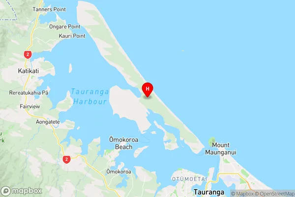
Bay of PlentyMatakana Island Region Map
Coordinates
-37.582696,176.0817399 (latitude/longitude)Distances
The distance from Matakana Island, Matakana Island, Western Bay of Plenty District to NZ Top 10 Cities