Mary Island Area, Mary Island Postcode & Map in Mary Island
Mary Island Area, Mary Island Postcode & Map in Mary Island, Southland District, New Zealand
Mary Island, Southland District, New Zealand
Mary Island Area (estimated)
1.2 square kilometersMary Island Population (estimated)
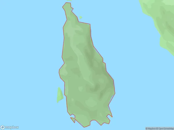
0 people live in Mary Island, Tuatapere Te Waewae Community, NZMary Island Suburb Area Map (Polygon)
Mary Island Introduction
Mary Island is a small island in Fiordland National Park, Southland, New Zealand. It is known for its scenic beauty, including waterfalls, forests, and a variety of bird species. The island is accessible by a scenic ferry ride from Milford Sound or by a 4-hour hike from the park's visitor center.Region
Major City
Suburb Name
Mary IslandOther Name(s)
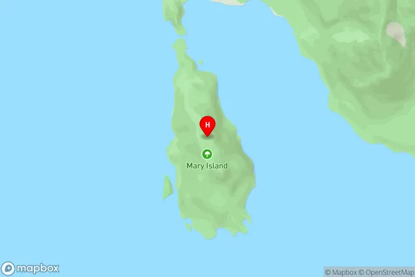
Lake HaurokoMary Island Area Map (Street)
Local Authority
Southland DistrictFull Address
Mary Island, Southland District, New ZealandAddress Type
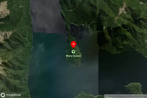
IslandMary Island Suburb Map (Satellite)
Country
Main Region in AU
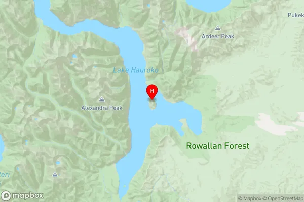
SouthlandMary Island Region Map
Coordinates
-45.984697,167.326275964753 (latitude/longitude)Distances
The distance from Mary Island, , Southland District to NZ Top 10 Cities