Marriott Island Area, Marriott Island Postcode & Map in Marriott Island
Marriott Island Area, Marriott Island Postcode & Map in Marriott Island, Far North District, New Zealand
Marriott Island, Far North District, New Zealand
Marriott Island Area (estimated)
0.0 square kilometersMarriott Island Population (estimated)
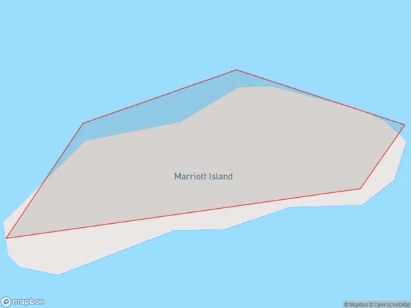
0 people live in Marriott Island, Bay of Islands-Whangaroa Community, NZMarriott Island Suburb Area Map (Polygon)
Marriott Island Introduction
Marriott Island is a privately owned island in the Bay of Islands, Northland, New Zealand. It is known for its stunning natural beauty, including crystal-clear waters, white sandy beaches, and lush tropical forests. The island offers a range of activities, such as hiking, snorkeling, kayaking, and fishing. It is also home to a luxury resort, Marriott Resort & Spa, which provides guests with a range of amenities and services.Region
Major City
Suburb Name
Marriott IslandOther Name(s)
Waikare InletMarriott Island Area Map (Street)

Local Authority
Far North DistrictFull Address
Marriott Island, Far North District, New ZealandAddress Type
IslandMarriott Island Suburb Map (Satellite)

Country
Main Region in AU
NorthlandMarriott Island Region Map

Coordinates
-35.30719905,174.171617472444 (latitude/longitude)Distances
The distance from Marriott Island, , Far North District to NZ Top 10 Cities