Maria Island Area, Maria Island Postcode(0622) & Map in Maria Island
Maria Island Area, Maria Island Postcode(0622) & Map in Maria Island, Auckland, New Zealand
Maria Island, Auckland, New Zealand
Maria Island Postcodes
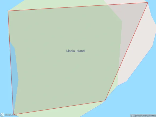
Maria Island Area (estimated)
0.0 square kilometersMaria Island Population (estimated)
0 people live in Maria Island, Waiheke, NZMaria Island Suburb Area Map (Polygon)
Maria Island Introduction
Maria Island is a wildlife reserve and historic penal settlement located in the Waitematā Harbour of Auckland, New Zealand. It is known for its rich biodiversity, including native birds, reptiles, and penguins. The island has a fascinating history, including the use of the island as a prison from 1867 to 1913. Visitors can explore the ruins of the prison buildings, walk through the historic gardens, and enjoy the scenic views across the harbor.Region
Major City
Suburb Name
Maria IslandOther Name(s)
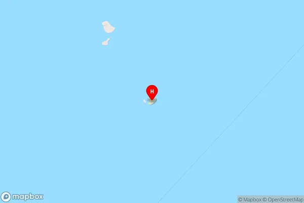
Ruapuke Island, Hauraki GulfMaria Island Area Map (Street)
Local Authority
AucklandFull Address
Maria Island, Auckland, New ZealandAddress Type
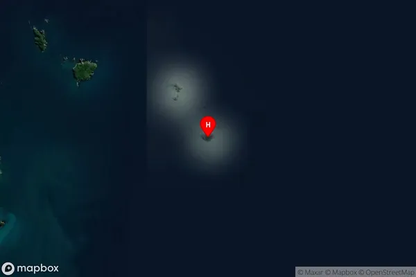
IslandMaria Island Suburb Map (Satellite)
Country
Main Region in AU
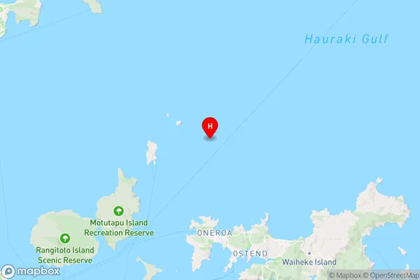
AucklandMaria Island Region Map
Coordinates
-36.7088606,175.005472550355 (latitude/longitude)Distances
The distance from Maria Island, , Auckland to NZ Top 10 Cities