Mana Island Area, Mana Island Postcode(5022) & Map in Mana Island
Mana Island Area, Mana Island Postcode(5022) & Map in Mana Island, Porirua City, New Zealand
Mana Island, Porirua City, New Zealand
Mana Island Postcodes
Mana Island Area (estimated)
2.6 square kilometersMana Island Population (estimated)
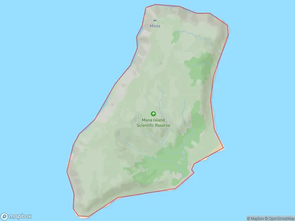
0 people live in Mana Island, Porirua, NZMana Island Suburb Area Map (Polygon)
Mana Island Introduction
Mana Island is a small, uninhabited island in Wellington Harbour, New Zealand. It is known for its unique geological features, including a rock formation known as the "Porpoise Rocks", and for being a popular spot for kayaking and paddleboarding. The island is also home to a small colony of seabirds, including the rare New Zealand storm petrel.Region
Major City
Suburb Name
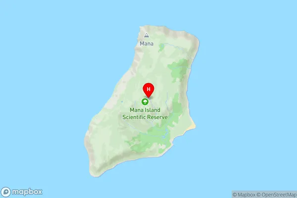
Mana IslandMana Island Area Map (Street)
Local Authority
Porirua CityFull Address
Mana Island, Porirua City, New ZealandAddress Type
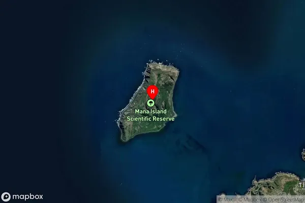
IslandMana Island Suburb Map (Satellite)
Country
Main Region in AU
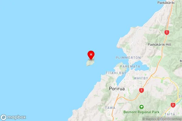
WellingtonMana Island Region Map
Coordinates
-41.0873075,174.781479174398 (latitude/longitude)Distances
The distance from Mana Island, , Porirua City to NZ Top 10 Cities