Mahurangi Island (Goat Island) Area, Mahurangi Island (Goat Island) Postcode(3500) & Map in Mahurangi Island (Goat Island)
Mahurangi Island (Goat Island) Area, Mahurangi Island (Goat Island) Postcode(3500) & Map in Mahurangi Island (Goat Island), Thames-Coromandel District, New Zealand
Mahurangi Island (Goat Island), Thames-Coromandel District, New Zealand
Mahurangi Island (Goat Island) Postcodes
Mahurangi Island (Goat Island) Area (estimated)
0.3 square kilometersMahurangi Island (Goat Island) Population (estimated)
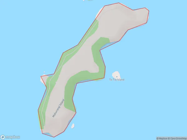
0 people live in Mahurangi Island (Goat Island), Waikato, NZMahurangi Island (Goat Island) Suburb Area Map (Polygon)

Mahurangi Island (Goat Island) Introduction
Mahurangi Island, also known as Goat Island, is located in the Bay of Islands, Waikato, New Zealand. It is a picturesque and tranquil island that is home to a variety of wildlife, including native birds, seals, and goats. The island has a rich history and was once used as a penal colony. Visitors can explore the island's historic ruins, walk along the beaches, and enjoy the stunning natural scenery.Region
Suburb Name
Mahurangi Island (Goat Island)Other Name(s)
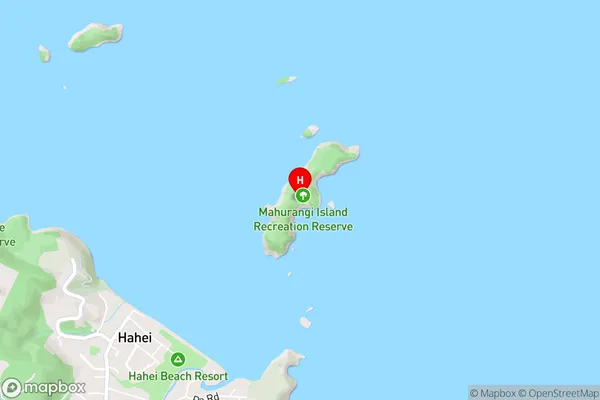
Goat Island, Mahurangi IslandMahurangi Island (Goat Island) Area Map (Street)

Local Authority
Thames-Coromandel DistrictFull Address
Mahurangi Island (Goat Island), Thames-Coromandel District, New ZealandAddress Type
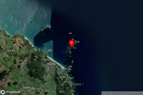
IslandMahurangi Island (Goat Island) Suburb Map (Satellite)

Country
Main Region in AU
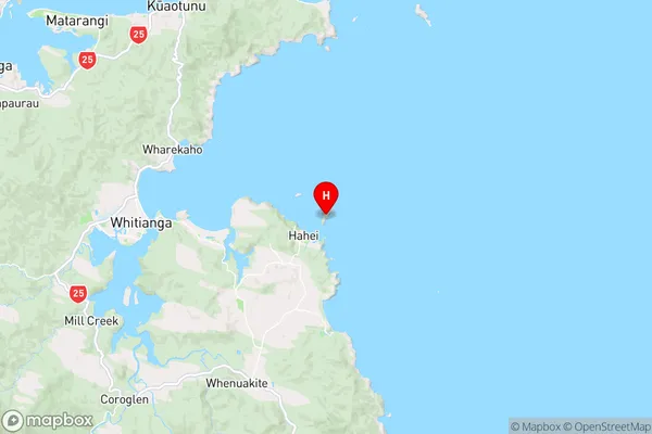
WaikatoMahurangi Island (Goat Island) Region Map

Coordinates
-36.83036165,175.819217735182 (latitude/longitude)Distances
The distance from Mahurangi Island (Goat Island), , Thames-Coromandel District to NZ Top 10 Cities