Mahungarape Island / Round Island Area, Mahungarape Island / Round Island Postcode & Map in Mahungarape Island / Round Island
Mahungarape Island / Round Island Area, Mahungarape Island / Round Island Postcode & Map in Mahungarape Island / Round Island, Thames-Coromandel District,
Mahungarape Island / Round Island, Thames-Coromandel District,
Mahungarape Island / Round Island Area (estimated)
0.0 square kilometersMahungarape Island / Round Island Population (estimated)
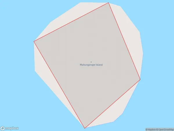
0 people live in Mahungarape Island / Round Island, Brighton, NZMahungarape Island / Round Island Suburb Area Map (Polygon)
Region
Major City
Suburb Name
Mahungarape Island / Round Island (Maori Name: Māhungarape Island / Round Island)Other Name(s)
Mahungarape Island, Round IslandMahungarape Island / Round Island Area Map (Street)
Local Authority
Thames-Coromandel DistrictFull Address
Mahungarape Island / Round Island, Thames-Coromandel District,Address Type
IslandMahungarape Island / Round Island Suburb Map (Satellite)
Country
Main Region in AU
OtagoMahungarape Island / Round Island Region Map
Coordinates
0,0 (latitude/longitude)Distances
The distance from Mahungarape Island / Round Island, , Thames-Coromandel District to NZ Top 10 Cities