Mahenotiti Island Area, Mahenotiti Island Postcode & Map in Mahenotiti Island
Mahenotiti Island Area, Mahenotiti Island Postcode & Map in Mahenotiti Island, Far North District, New Zealand
Mahenotiti Island, Far North District, New Zealand
Mahenotiti Island Area (estimated)
0.0 square kilometersMahenotiti Island Population (estimated)
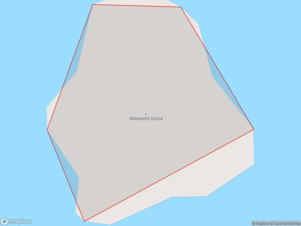
0 people live in Mahenotiti Island, Bay of Islands-Whangaroa Community, NZMahenotiti Island Suburb Area Map (Polygon)
Mahenotiti Island Introduction
Mahenotiti Island is a small, uninhabited island off the coast of Northland, New Zealand. It is known for its ancient ruins of a Polynesian settlement, which date back to around 1250 AD. The ruins include stone temples, houses, and carved statues. The island is a popular tourist destination and is accessible by boat from the town of Paihia.Region
Major City
Suburb Name
Mahenotiti IslandOther Name(s)
Te Rawhiti InletMahenotiti Island Area Map (Street)

Local Authority
Far North DistrictFull Address
Mahenotiti Island, Far North District, New ZealandAddress Type
IslandMahenotiti Island Suburb Map (Satellite)

Country
Main Region in AU
NorthlandMahenotiti Island Region Map

Coordinates
-35.22760705,174.247922109039 (latitude/longitude)Distances
The distance from Mahenotiti Island, , Far North District to NZ Top 10 Cities