Macdonell Island Area, Macdonell Island Postcode & Map in Macdonell Island
Macdonell Island Area, Macdonell Island Postcode & Map in Macdonell Island, Southland District, New Zealand
Macdonell Island, Southland District, New Zealand
Macdonell Island Area (estimated)
0.2 square kilometersMacdonell Island Population (estimated)
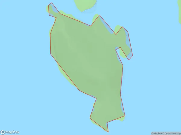
0 people live in Macdonell Island, Fiordland Community, NZMacdonell Island Suburb Area Map (Polygon)
Macdonell Island Introduction
Macdonell Island is located in Fiordland National Park in Southland, New Zealand. It is known for its stunning natural beauty, including rugged mountain terrain, dense forests, and crystal-clear lakes. The island is home to a variety of wildlife, including kea, tui, and penguins. It is also a popular destination for hiking, camping, and fishing. The island has a rich history, with evidence of human settlement dating back to the early 19th century.Region
Major City
Suburb Name
Macdonell IslandOther Name(s)
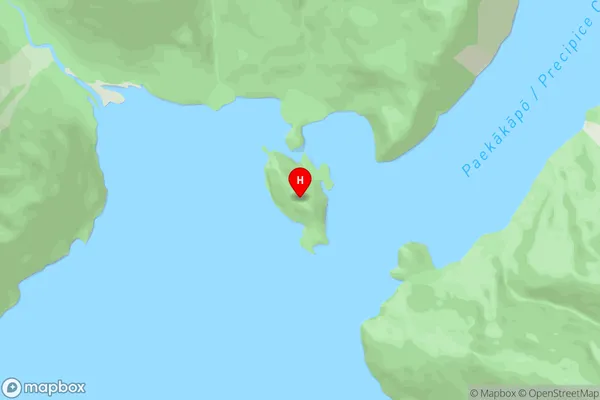
Kaikiekie / Bradshaw SoundMacdonell Island Area Map (Street)
Local Authority
Southland DistrictFull Address
Macdonell Island, Southland District, New ZealandAddress Type
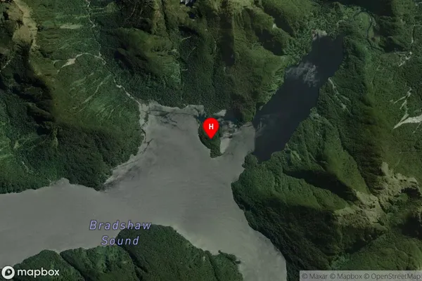
IslandMacdonell Island Suburb Map (Satellite)
Country
Main Region in AU
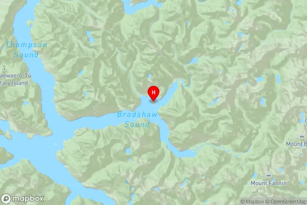
SouthlandMacdonell Island Region Map
Coordinates
-45.26809715,167.138005507445 (latitude/longitude)Distances
The distance from Macdonell Island, , Southland District to NZ Top 10 Cities