Mabel Island Area, Mabel Island Postcode(7220) & Map in Mabel Island
Mabel Island Area, Mabel Island Postcode(7220) & Map in Mabel Island, Marlborough District, New Zealand
Mabel Island, Marlborough District, New Zealand
Mabel Island Postcodes
Mabel Island Area (estimated)
0.0 square kilometersMabel Island Population (estimated)
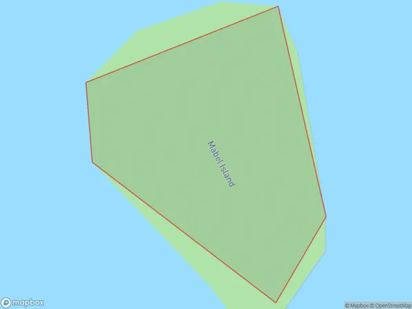
0 people live in Mabel Island, Marlborough, NZMabel Island Suburb Area Map (Polygon)
Mabel Island Introduction
Mabel Island is a small, uninhabited island in the Marlborough Sounds of New Zealand. It is part of the Renwick Island group and is known for its scenic beauty, including lush forests, sandy beaches, and crystal-clear waters. The island is a popular destination for hiking, kayaking, and wildlife viewing, with a variety of bird species and marine life. Mabel Island is also home to a historic lighthouse, built in 1877, which provides a panoramic view of the surrounding area.Region
Major City
Suburb Name
Mabel IslandOther Name(s)
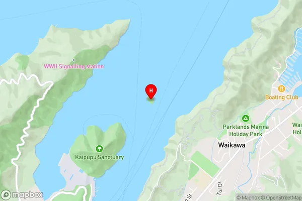
Picton HarbourMabel Island Area Map (Street)
Local Authority
Marlborough DistrictFull Address
Mabel Island, Marlborough District, New ZealandAddress Type
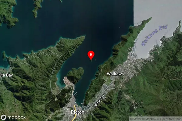
IslandMabel Island Suburb Map (Satellite)
Country
Main Region in AU
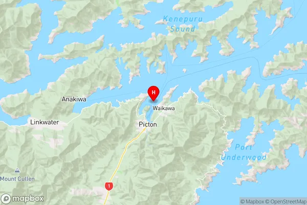
MarlboroughMabel Island Region Map
Coordinates
-41.2689056,174.014577301868 (latitude/longitude)Distances
The distance from Mabel Island, , Marlborough District to NZ Top 10 Cities