Long Island Area, Long Island Postcode & Map in Long Island
Long Island Area, Long Island Postcode & Map in Long Island, Marlborough District, New Zealand
Long Island, Marlborough District, New Zealand
Long Island Area (estimated)
1.4 square kilometersLong Island Population (estimated)
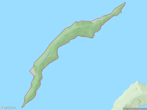
0 people live in Long Island, Marlborough, NZLong Island Suburb Area Map (Polygon)
Long Island Introduction
Long Island is located in the Marlborough Sounds of New Zealand's South Island. It is well-known for its stunning scenery, including lush forests, crystal-clear lakes, and rugged cliffs. The island is home to a variety of wildlife, including seals, dolphins, and kea birds. Visitors can explore the island on foot, by boat, or by helicopter. There are also several hiking trails and picnic spots available.Region
0Suburb Name
Long IslandOther Name(s)
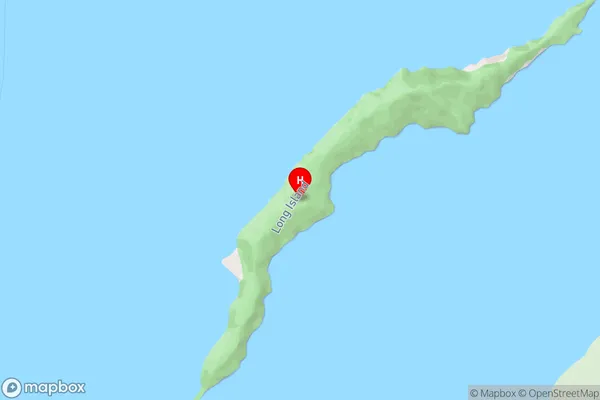
Queen Charlotte Sound (Totaranui)Long Island Area Map (Street)
Local Authority
Marlborough DistrictFull Address
Long Island, Marlborough District, New ZealandAddress Type
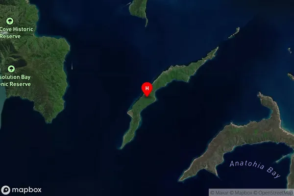
Island in Major Locality Marlborough SoundsLong Island Suburb Map (Satellite)
Country
Main Region in AU
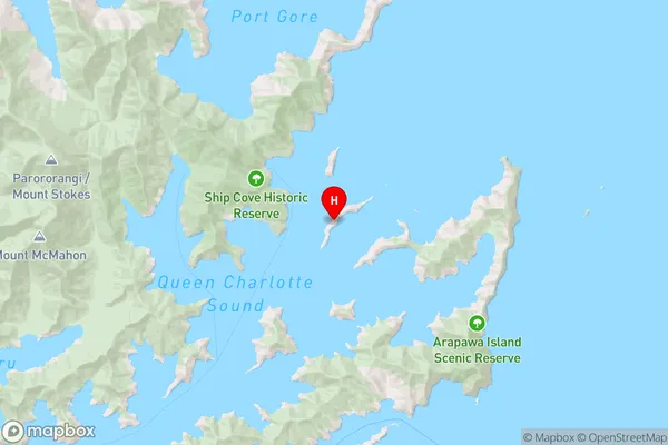
MarlboroughLong Island Region Map
Coordinates
-41.11927155,174.276407326305 (latitude/longitude)Distances
The distance from Long Island, Marlborough Sounds, Marlborough District to NZ Top 10 Cities