Lone Island Area, Lone Island Postcode(9600) & Map in Lone Island
Lone Island Area, Lone Island Postcode(9600) & Map in Lone Island, Southland District, New Zealand
Lone Island, Southland District, New Zealand
Lone Island Postcodes
Lone Island Area (estimated)
0.0 square kilometersLone Island Population (estimated)
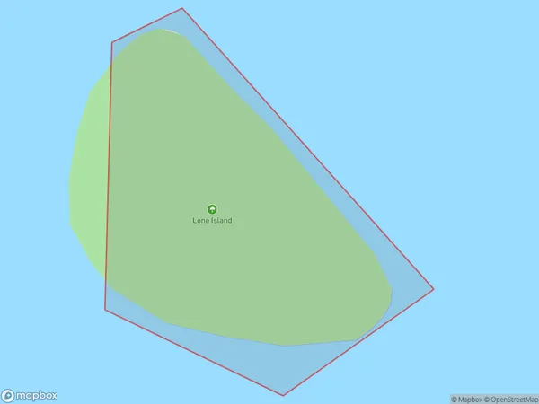
0 people live in Lone Island, Fiordland Community, NZLone Island Suburb Area Map (Polygon)
Lone Island Introduction
Lone Island is a small island in Fiordland National Park, Southland, New Zealand. It is known for its stunning natural beauty, including waterfalls, rainforests, and crystal-clear lakes. The island is accessible by a scenic ferry ride from Milford Sound. Visitors can hike, kayak, and explore the island's unique wildlife, including seals and penguins.Region
Major City
Suburb Name
Lone IslandOther Name(s)
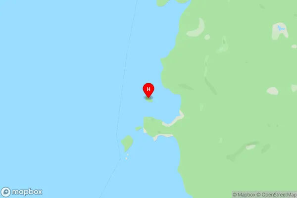
Lake Te AnauLone Island Area Map (Street)
Local Authority
Southland DistrictFull Address
Lone Island, Southland District, New ZealandAddress Type
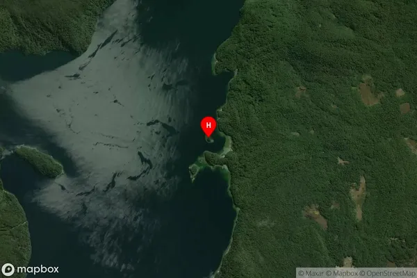
IslandLone Island Suburb Map (Satellite)
Country
Main Region in AU
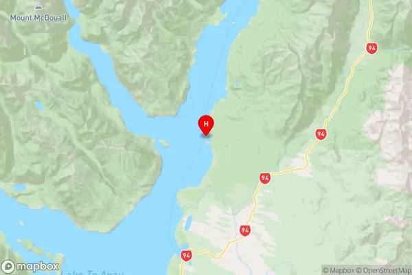
SouthlandLone Island Region Map
Coordinates
-45.11428755,167.845242219333 (latitude/longitude)Distances
The distance from Lone Island, , Southland District to NZ Top 10 Cities