Lizard Isle Area, Lizard Isle Postcode(1148) & Map in Lizard Isle
Lizard Isle Area, Lizard Isle Postcode(1148) & Map in Lizard Isle, Auckland, New Zealand
Lizard Isle, Auckland, New Zealand
Lizard Isle Postcodes
Lizard Isle Area (estimated)
0.0 square kilometersLizard Isle Population (estimated)
0 people live in Lizard Isle, Aotea Great Barrier, NZLizard Isle Suburb Area Map (Polygon)
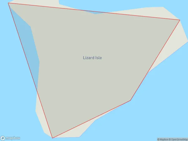
Lizard Isle Introduction
Lizard Isle is a small, rocky island in the Hauraki Gulf, located off the coast of Auckland, New Zealand. It is known for its unique wildlife, including rare bird species and marine life. The island is a popular destination for day trips and outdoor activities such as hiking, snorkeling, and kayaking. It is also home to a small community of people who live in traditional Maori dwellings.Region
Major City
Suburb Name
Lizard IsleOther Name(s)
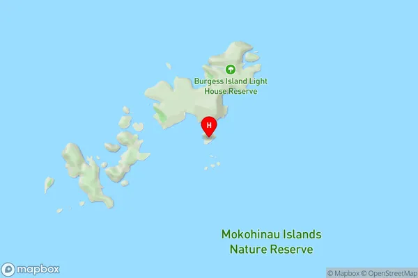
Mokohinau IslandsLizard Isle Area Map (Street)
Local Authority
AucklandFull Address
Lizard Isle, Auckland, New ZealandAddress Type
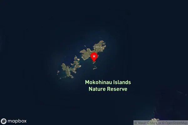
IslandLizard Isle Suburb Map (Satellite)
Country
Main Region in AU
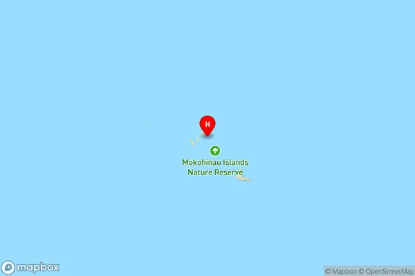
AucklandLizard Isle Region Map
Coordinates
-35.9095887,175.114018876489 (latitude/longitude)Distances
The distance from Lizard Isle, , Auckland to NZ Top 10 Cities